The Sierra Nevada de Santa Marta is an isolated mountain range separated from the Andes chain that runs through Colombia. It reachs an altitude of over 5.700 meters (18,700 feet), and just 42 kilometers from the Caribbean coast and is the world’s highest coastal range. We came to this area to visit the Ciudad Perdida or the Lost City, one of Colombia’s top attractions.
Before the Lost City we prematurely left Taganga and headed to Minca at around 600 meters and an hour drive from Santa Marta. We were welcomed at the Emerald Green Guest House by the Irish owner, Niall, and his dog, Ishka – we still find it amazing the far away places where foreigners of all nationalities call home. Niall cooked us some pretty delicious meals and we really enjoyed our time at his place. He’s very knowledgable about the area and provides tours. Unfortunately, Andrea didn’t have any free days since we were there during the week.

Our canine host, Ishka
The weather at the higher elevation was pleasantly cooler giving us a short reprieve from the blistering heat we’ve had since arriving in Costa Rica back in September. The town was nothing fancy, a few casual places to eat, a couple of shops and a church. The church was very quaint, but we were ready to burn it down by the time we departed. Every morning at 4:45am, someone would start ringing the church bells and then play a CD with Spanish Christmas music over and over again! Andrea and I almost knew all the songs by the time we left. Fortunately this was our only seasonal complaint of Minca, an otherwise tranquil pueblo away from the city noise of Santa Marta.

Minca’s noise making building!

Dinner at Niall’s place
While I was there, I hiked up into the surrounding hillsides. My day began on the back of a motorcycle and ended nine hours later with extremely sore feet! The plan was to only visit a mirador at Los Pinos for amazing views of the distant snowcapped mountains and the city of Santa Marta, followed by a three hour return trip to finish the loop off (see below map). Well me being me, I decided I’d have a crack at Cerro Kennedy which is located just off the top of the map and which I’d heard takes thirteen hours round-trip from Minca – I was over halfway there, or so I thought from the map. The trail went on, and up and on, and up, passing by a beautiful bird lodge, a few fincas and finally a small army outpost that was close to the towers marking the summit. I gave myself a 1pm turn around giving me no where enough time to get back by 5pm and preventing Andrea from having a fit! It so happened that I tagged the top, mainly due to my stubbornness, and made it back by a little after 4pm. I was explaining to Andrea that it was her fault I was now in pain from giving me deadlines while she works!

Map of the Minca area
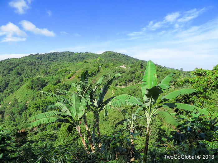
The forest covered hillsides of Sierra Nevada de Santa Marta

The worthy view from Cerro Kennedy
The area is very popular with birdwatchers with many species being endemic to these hillsides – I wasn’t so fortunate to see anything exotic, either due to the lateness of heading out or the speed at which I had to move. There were a few large groups on the trail with fancy binoculars and spotting scopes all staring into the trees seeing something that I obviously was not. The scenery and workout more than made up for it.
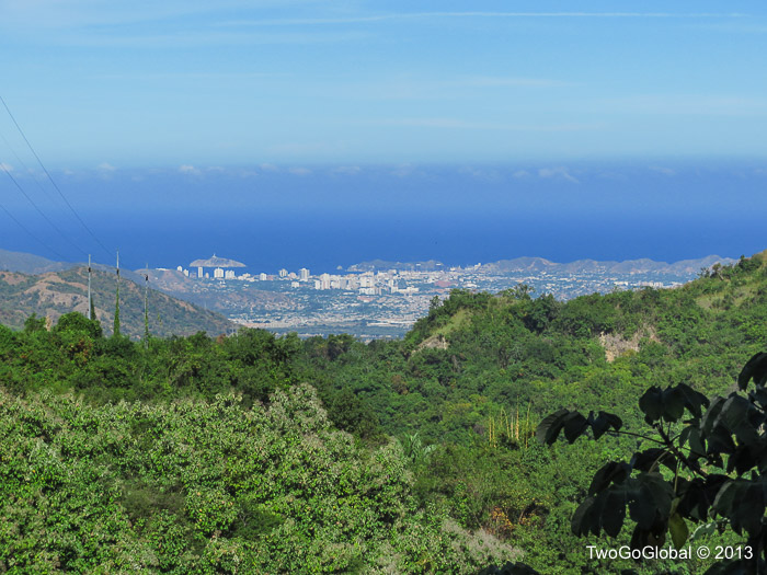
Santa Marta from just below Minca
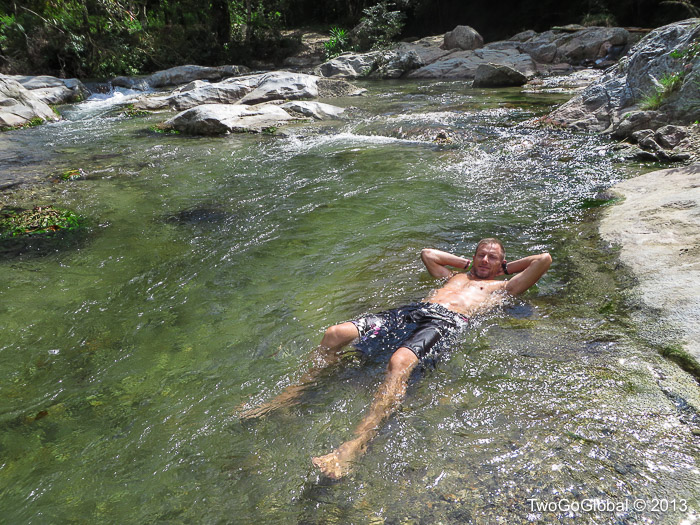
Relaxing in the local spa
Ciudad Perdida, or the Lost City
This was certainly not going to be the Inca Trail to Macchu Picchu trek, but is still one of the number one things to do while in Colombia, without the altitude, and with a good share of humidity and bugs thrown in to make things interesting. Andrea read reports that people were crossing rivers chest high and the trails were completely muddy – she wasn’t sold on doing the trip, but we were going anyway! The trip can be done in 4,5 or 6 days – all being the same price. We chose Magic Tour, with the four day trek costing the same 600,000 COP, or $310 USD. We were disappointed not having an English speaking guide, which for Andrea was far more of a problem, but there were plenty of translators in our group.
Ciudad Perdida is the archaeological site in Sierra Nevada, Colombia, founded about 800 AD, some 650 years earlier than Machu Picchu. A group of local treasure looters found it in 1972 when they saw a series of stone steps rising up the mountainside. They appropiately named it “Green Hell” or “Wide Set”. When gold figurines and ceramic urns from this city began to appear in the local black market, archaeologists headed by the director of the Instituto Colombiano de Antropologia reached the site in 1976 and completed reconstruction between 1976-1982.

Site information
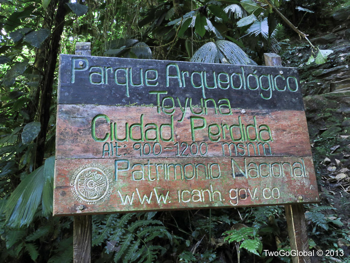
Parque Teyuna or Ciudad Perdida
Our trip started in Santa Marta where 10 tourists + 1 guide + 1 cook loaded up the jeeps for the trip to the small town of Machete. The last hour was on a horrible dirt road and seemed to drag on forever. After many occasions of smacking into the roof of the jeep, we were glad to arrive. From here it was a mere 23.3 km to the lost city following a couple of rivers with plenty of opportunities to get wet and cool off. After the trek, we could not understand why people would take the five day option, least of all the six day. We only walked four hours on day one and around six to seven hours on each of the other days. The people doing the 5 and 6 day treks would only walk for two hours on one day. Trying to entertain yourself at these camps wasn’t a easy process – it would have sent us crazy! We definitely chose wisely on this occasion! This shouldn’t take away from the difficulty of the trek – it was very hilly and the days were long. Luckily, it didn’t rain so our river crossings were pretty tame and the trails were never muddy.
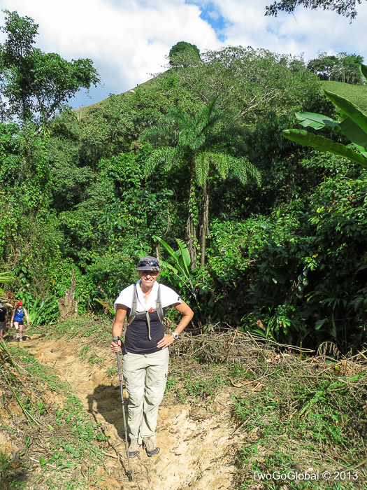
We expected to see Indiana Jones at any moment
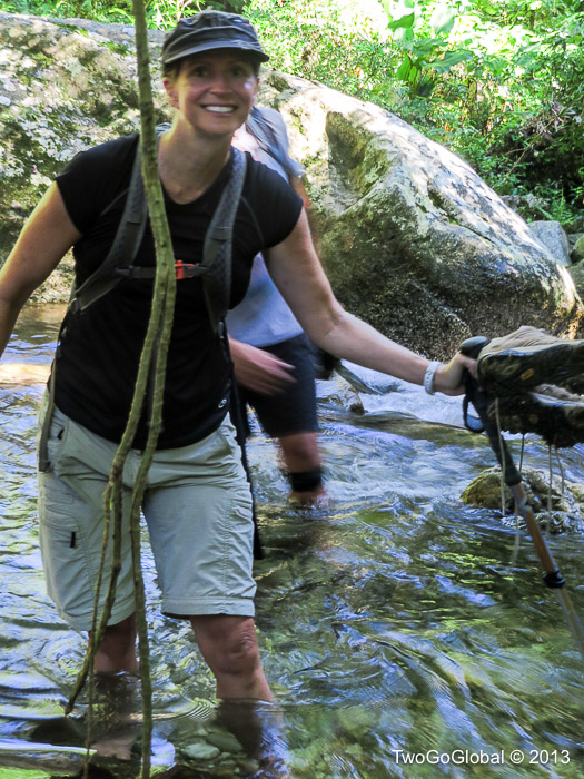
Look out for anacondas
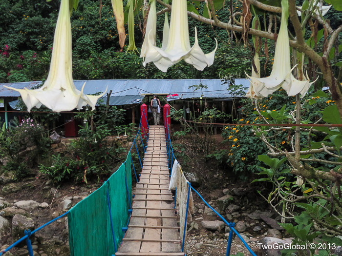
Our first nights accommodation in hammocks

A never ending trail to nowhere…

Another perfectly safe bridge

One of the campgrounds on the trekking route
The first day was nice and short, and really needed to be as we didn’t get moving until after a nice lunch provided by Magic Tour. With an early stop for a swim followed by some pretty steep sandy hills to deal with, it made for a fun start to the four days. We passed through a couple of other camps before arriving at our designated site, and as with all the accommodations on the trail it was located down by the river, with this one having hammocks to sleep in. This was to be the first time that either of us had ever slept in a hammock for the night, making for a scrappy night’s rest. Night two we had a tent erected in a wooden building alongside bunks, and on our final night we each had a single bunk – if we had stayed longer maybe we would have ended up with a private room and a Tempurpedic mattress!
Parts of the trail had zero shade which made for hot sweaty walking, and pretty much all the trail had relentless sandflies and mosquitoes, with the latter being unbearable if we stayed still for too long. A paled skinned Irish girl we had in the group started out bite free and ended up with her legs covered in red welts, and that was using bug repellent.
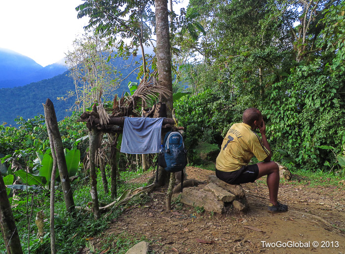
Our guide deep in thought

Pushing hard in the heat

A miserably hot exposed sandy section
Even though we were a couple days out from Christmas there were groups arriving and departing from all the camps we stayed at, although the trails seemed pretty quiet, with the only other people being farmers, and the indigenous Kogi Indians who seem to own the rustic accommodations on the trail. We would see the white dressed Kogi in their own typical villages, escorting horses laden with supplies, and at all the places we stayed. This was the first time we had the privilege of seeing the men using a poporo, a small, hollow gourd that is filled with lima, a type of powder that is made by heating and crushing shells to produce lime. The men also continuously chew coca leaves, a tradition followed by many indigenous tribes to connect them to the natural world. As they chew the coca leaves, they suck on the lime powder in their poporos, which they extract with a stick, and rub the mixture on the gourd with the stick to form a hardened layer or crust. The size of this layer depends on the maturity and the age of the Kogi man.

A curious Kogi girl

Kogi village

Andrea on the 1200 steps leading to the site
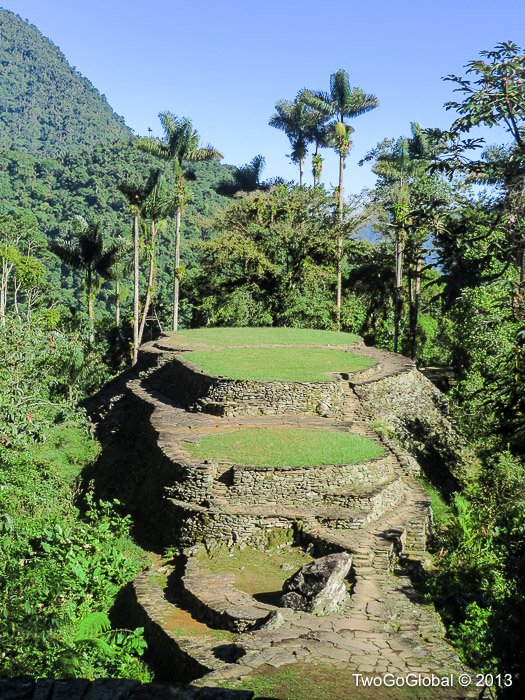
The main attraction of Ciudad Perdida
After we awoke on the third day we had under an hour to reach the 1200+ steps leading up to and through the city. It was easy walking on a very well made trail, something we would struggle to build even nowadays given the location. The ruins were primarily terraces, staircases and circular stone platforms where huts and other buildings would once have stood – none quite had the wow factor of Macchu Picchu but still an amazing achievement given the age.
The thing we found strange was the military presence, with young, bored looking soldiers hanging around clutching rifles to their chests. We discovered that a number of years ago when paramilitaries and guerillas were present all over Colombia that a group of tourists camping at the ruins were kidnapped for ransom. This did not bode well for tourism so the area was closed off for a while, eventually reopening with protection!
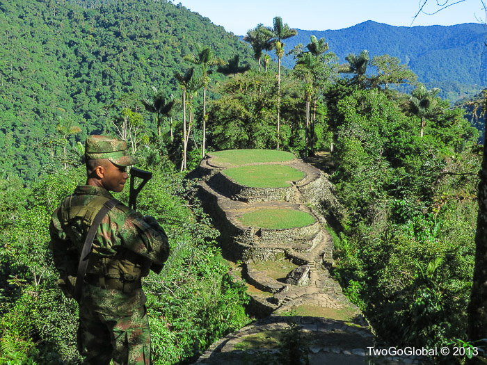
Beautiful location for a job, if not a little tedious
Andrea was not sure about doing this hike, especially after hearing about its difficulty, although we both agreed in the end how comfortable it was. Our guide, Marron, helped out continuously, was extremely informative and gave us a lecture each night on different topics appropriate to the hike, the people, and the location. What makes a great trip for me is being served healthy, filling food and we weren’t let down with food provided from lunch on the first day through lunch on the fourth day, followed by a bonus complimentary cerveza back in Machete.
December 17th – December 23rd 2013

