The Canadian Rockies are a continuation of the American Rocky Mountains, stretching up to the Liard river in northern British Columbia. We planned on spending time in the various national parks en route, utilizing the scenic Bow Valley Parkway and Icefields Parkway to travel between them. A last minute route change to visit Mount Robson, the highest peak in the range, took us west to Prince George and the west access route to the start of the Alaska Highway in Dawson Creek, instead of north to Grand Prairie in the east.
Waterton Lakes National Park
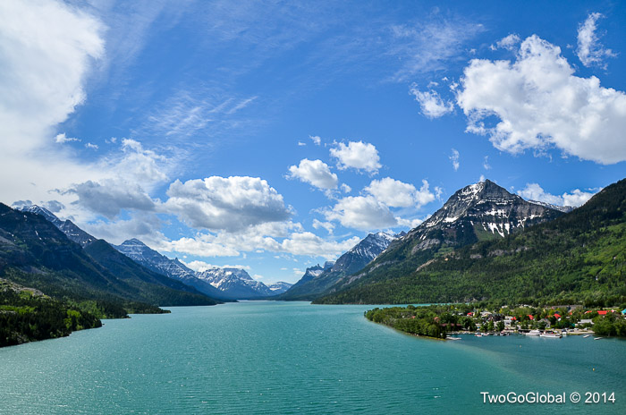
If the very small and quiet border crossing didn’t exist at Chief Mountain separating the United States from Canada then going from Glacier into Waterton Lakes National Park was unnoticeable – the trees and highway still looked the same, although kilometers now replaced miles which we had to be careful of. The US/ Canada combined park, known as the Waterton-Glacier International Peace Park was created back in 1932 and has since been declared a UNESCO World Heritage Site.
Choosing not to stay in the park itself was the right decision and our campsite, Waterton Springs, located a few miles outside the park boundaries was perfect – soft, newly mowed grass for an extra thick mattress, small lakes, great showers and internet more than adequate for Andrea to work.
Now this is some place we could live, although it would be a good idea to experience a winter first, which are harsh and last far longer than the summers! The drive in along Canada’s Highway 1, passing by Canmore, which we should have visited but somehow never got round to, was really scenic and set us up for almost a week at the Mountain Village I campground. I think we were both getting used to living in a six foot by four foot soft sided mobile home now!
Rogers, our cell phone service provider was okay but with out campground being in the mountains a few miles from town the 3G reception was sketchy at best, and for this reason Andrea would head into town at 5.45am each morning to sit outside one of the many coffee shops for free Internet until they opened. She is so disciplined and fortunately for me still loves her job.
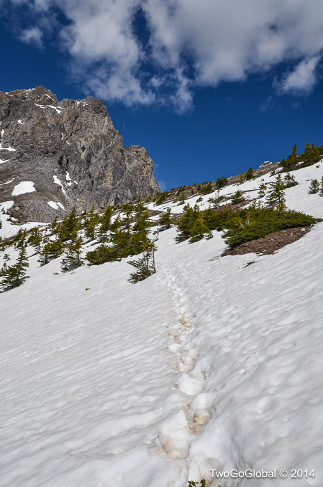
Our best hike was from the Banff day hike pamphlet, where obviously I had chosen the only one rated as difficult. It took us over two passes, Cory and Edith, with supposedly some relatively easy snow crossings – the first half, although uphill for more than two hours felt great, and with no bear encounters en route we arrived at the higher of the two passes to be greeted by lots of snow. With recent footprints to follow the route was not too bad, that is until every other step we would plunge in above our knees. Going up was still easy but heading back into the valley on the other side was a different matter – I had to escort Andrea down until the terrain leveled out somewhat. A challenge made far harder with us both wearing trail running shoes! Even with Andrea cursing and scowling for an hour we had a great time and covered the fifteen kilometers in a little over five hours. Being still early in the season gave us the trail almost to ourselves which we loved.
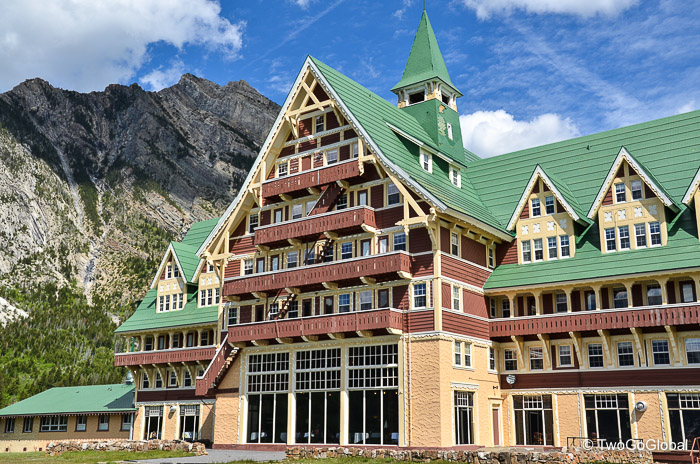
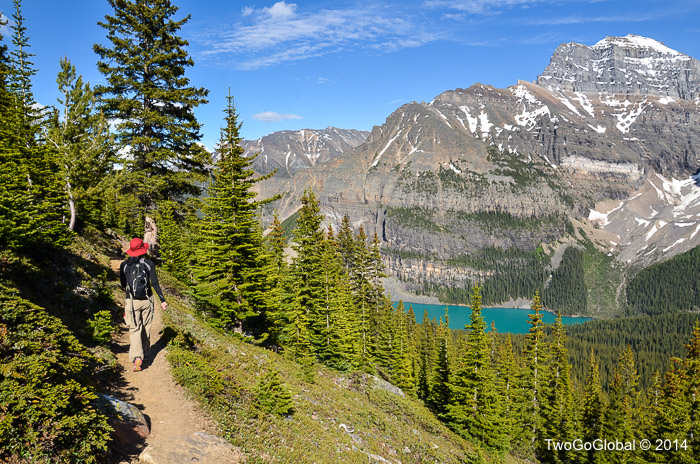
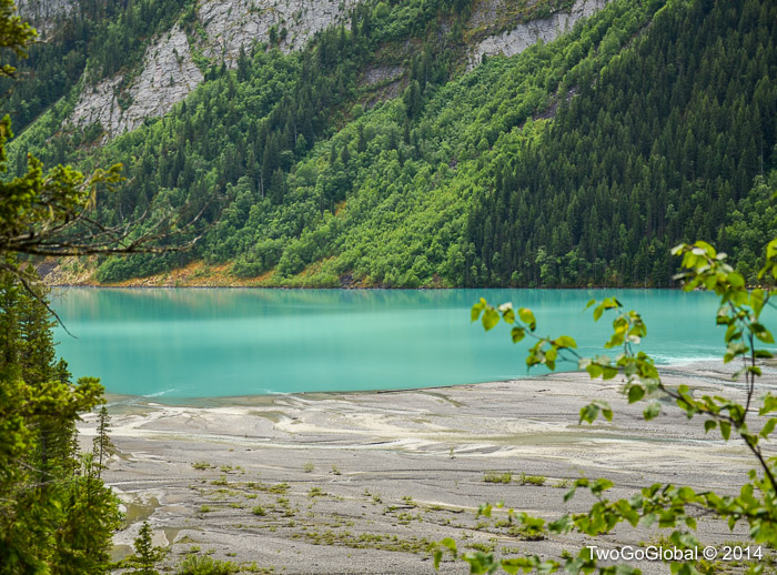
Within Banff National Park, Lake Louise is a small village situated around 50 miles west on the wildlife rich Bow Valley parkway. We spent two nights in the Lake Louise campground, secured around its perimeter with electric fence – this is the first time we’ve needed protection from bears! The entire area is stunning and not limited to two of the most turquoise glacier fed lakes we’ve ever seen – the larger of the two, Lake Louise, has the expensive Japanese tourist filled Fairmont Chateau hotel right on its shore. Two beers cost us a whopping $20 and all we needed to do was charge the iPhone! The other, Moraine Lake, was even bluer and was the start of the only hike we did towards Sentinel Pass.
The highlight of this area for us was the spectacular 232 kilometer drive along the Icefields Parkway, connecting Banff and Jasper national parks. With blooming wildflowers, turquoise lakes, snow covered peaks, the vast Columbia icefield, glaciers right up to the highway, and the newly opened Glacier Skywalk, this turned out to be full of natural surprises.
The Columbia Icefield is the primary tourist attraction on the parkway, situated astride the continental divide on the border of the Banff and Jasper national parks. This vast area covering 325 km² feeds eight different glaciers including the Athabasca and Saskatchewan, which are also the origination points of rivers by the same name. Unfortunately the only way of seeing the icefield proper is by helicopter or plane, even though from the visitor center tours can be taken onto the Athabasca glacier and hikes from the parkway can get great viewpoints of the Saskatchewan glacier.
Located seven kilometers west of the Athabasca glacier and against our initial plans we coughed up the $25 per person to visit the Skywalk, attached to the cliff edge some 280 meters above the Sunwapta Valley floor. Its glass floored observation platform was the highlight of the interpretive tour, even though the feeling of walking out on glass was slightly strange.
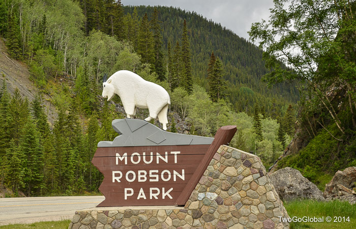
The town of Jasper didn’t live up to our expectations and we hastily moved on to Mount Robson Provincial Park just across the British Columbia province border – I guess we were searching for another Banff or Lake Louise.
Mount Robson Provincial Park
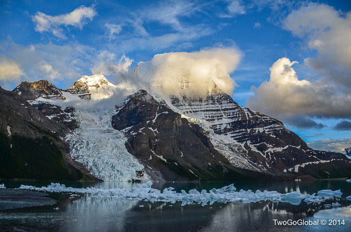
Either way this added at least a hundred miles to our drive up to Dawson Creek where the Alaska Highway begins – our initial plan was to leave Jasper and head to Hinton on the East Access Road, and on to Dawson Creek through Alberta. We were now in British Columbia and would need to get to Prince George before heading further north on the West Access Road. We were already making full use of The Milepost Alaska Travel Planner book for these itineraries – a great purchase at $34.95. The diversion was no big deal as I needed to try and see if the tallest mountain in the Canadian Rockies, Mount Robson, was worth climbing!
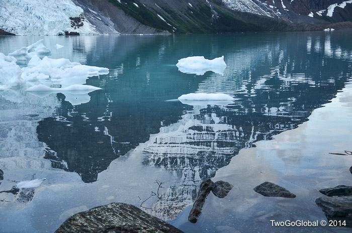
The visitor center was a wealth of information and we instantly noticed people milling around the counter for Berg Lake hikes. I knew of this place and thought we should register just for the hell of it – I didn’t realize we were about to select and commit to the campground we wanted to reach. This was to be our first back country camping and I made sure we were going to remember it, either by being poured on or the constant hip suffering I was about to endure. We registered for the Berg Lake campground, a mere 21 kilometers from the trailhead, making sure we would get in a marathon of hiking over the two days – not really a big distance but with packs containing food, cooking gear, sleeping bag, tent and a few clothes it was going to be a haul.
We arrived at the campsite in 5 1/2 hours, with 6-8 being the norm – mission accomplished, now we just had to get back to our vehicle early the following morning. Luck was on our side as only two brief rain showers bothered us, with the rest of the time spent hiking in sunshine admiring the stunning views. The hike out the following day was unrewarding, being spent in cloud the entire way, and a rainy start and finish!
June 19th – June 29th 2014

