Completing the seven continental highpoints, or 7 Summits as they are commonly called, is still on hold for financial and fitness reasons. Also, with only the big price tag mountains of Everest and Vinson remaining there needed to be an interim goal that was achievable whilst my fitness gets back on track and within a budget. Tagging the highpoint of each US state sounded like the logical thing to do, and ranging in elevation from Florida’s 345ft Britton Hill up to 20,320ft Denali in Alaska, there’s certainly enough to keep us busy!
Although Andrea and I have pretty much visited every US state there are many that we would willingly return to, and fortunately to get to those states we would probably have to drive through all the others. Another 20,000 mile road trip is the easier sell, whereas convincing Andrea that this new goal is a good idea to keep us both fit won’t be so straightforward, especially when we get into the more technical highpoints. If my sales pitch ends up in failure and this becomes a personal instead of joint goal then at least I’ve already completed Denali and Whitney and we don’t have to revisit together!
The thought for now is that as we happen to pass through a state then we’ll do whatever diversion it takes to stand atop it’s highpoint, and if there happens to be another state summit close by then we’ll do that too. The highpoint list does not look very substantial so far but it’s coming on…
New York – Mount Marcy
Altitude: 5,344′ ● Summited: 5/29/16 ● Route: Up/ Down: Van Hoevenberg Trail
Referenced in Adirondacks & More blog
Vermont – Mount Mansfield
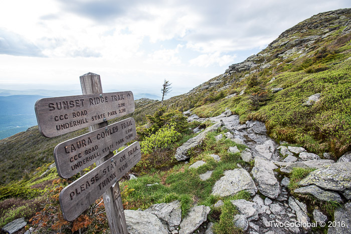
Altitude: 4,393′ ● Summited: 6/6/16 ● Route: Up: Laura Cowles, Down: Sunset Ridge Trail
Being able to tag the easier peaks during the week made a big difference to our travel plans, ensuring we didn’t have to stay in the same place through a weekend. The popular trailheads were a comfortable 10 mile drive from our Jericho airbnb, leaving us ample time to begin the 6 mile loop hike as soon as Andrea finished work, hopefully finishing before dark. We paid the $8 day use fee for Underhill State Park and headed off up the steep Laura Cowles trail – we both agreed to take the tougher option up, descending the longer Sunset Ridge trail.
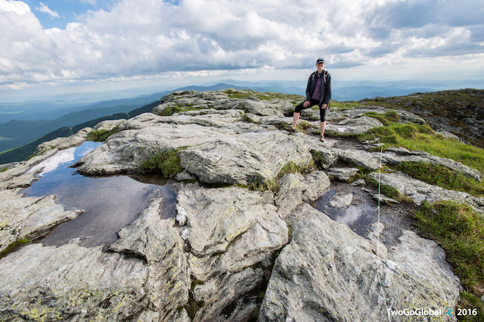
After an initial jeep road the route primarily followed a narrow mountain stream, all the time hopping back and forth across the steep and wet trail. The majority of the 2.6 mile ascent was spent maneuvering over slick boulders, pulling ourselves up on tree branches, all the time trying to avoid sliding into the water. Although steep we gained altitude faster than expected, with trees becoming shorter and shorter the higher we went, giving way to bushes and eventually bare rock. Upon exiting the trees we were left with a short scramble through alpine tundra to the states summit and its endless views.
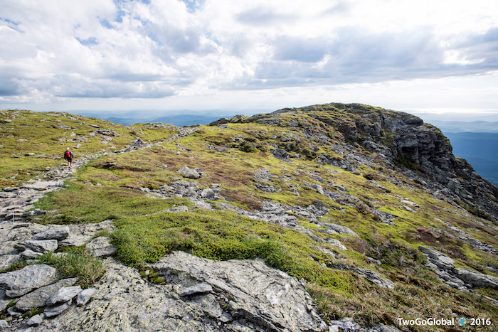
The ascent didn’t take much more than an hour, almost all hidden away in a canopy of trees – the descent promised to keep us out of the trees, giving amazing views most of the way down. Maybe we’ve had too much in the way of amazing but the hike down for us sucked! Far more and far bigger boulders had to be clambered over as we once again stuck to a narrow trail, this time with a lot more shrubbery instead of trees. The view was okay, but the terrain wouldn’t allow us to spend too much time appreciating it. Being slightly longer and less direct it took us around an hour and a half to get back to the parking lot.
Definitely a fun hike to work up an appetite.
New Hampshire – Mount Washington
Altitude: 6,288′ ● Summited: 6/12/16 ● Route: Up: Tuckerman Ravine, Down: Boott Spur Trail
Back in February 2005 I hiked Mt Washington and the Presidential Traverse with climbing friends as part of my Everest training plan – what would usually have been extreme weather turned out to be a joke. We carried snowshoes and clothing for subzero temperatures, totally unlike the people we saw out walking their dogs on the same trails. Just shows how fickle the weather can be in the White Mountains.
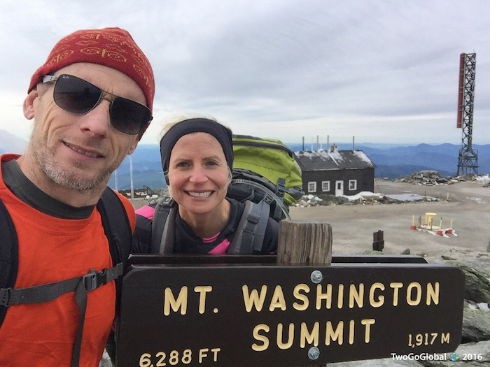
This time we weren’t going for the traverse, instead ascending via the popular Tuckerman Ravine and descending by way of the Boot Spur trail – I prefer to not take the same trail down and with the Boot Spur merging with the main trail almost at the Pinkham Notch Visitor Center it made for a perfect 9.6 mile loop. The weather wasn’t looking great later in the day so we headed out early in the morning, hopping from boulder to boulder on the relentless but steady incline, all the time making fast work of it. Hermit Lake shelters at 2.4 miles came and went, and before long we had navigated the steep, rocky headwall leading to the summit. It was still relatively early in the morning when we arrived at the numerous weather structures scattered across the flat plateau, with the actual highpoint sign mounted above the surrounding buildings on a rocky mound. Strange how the weather hadn’t been too bad on the hike in but the moment we scampered up to the summit sign the numbing cold and wind hit us, probably the reason why we were almost the only people up here.
The cafe and gift shop had just opened in anticipation of the hordes of tourists, mostly arriving by car, who head up to the New England highpoint on any given summer weekend. For us it was a great escape from the outside chill, a place to eat our packed breakfast and dress for the descent.
We headed off towards the Lakes of the Clouds Hut, and judging by the amount of people walking towards us it must have been a busy night. By now it was almost mid morning and these people had only just left the warmth of the hut, obviously fair weather hikers who now had a great view of clouds. A couple of miles of exposed windy conditions took us along a meandering Davis Path to the start of the Boott Spur trail, a steep and rocky grind that would spew us out at Pinkham Notch if we faltered – the hike from the summit to this point had us losing very little in altitude which meant that we were now going to pay! Down and down we went for what felt like hours, with me trying not to trip over the only things that were making this hike possible, trekking poles. My hip sure was making itself heard!
On this occasion our timing was impeccable, arriving back at the visitor center just as the rains came. Being unpredictable is what Mt Washington is all about, making us very happy for another successful summit, even if it did come at the sacrifice of my new Ray-Ban sunglasses!
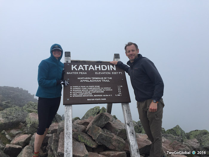
Maine – Mount Katahdin
Altitude: 5,268′ ● Summited: 6/15/16 ● Route: Up: Cathedral, Down: Saddle
The northernmost point of the Appalachian Trail, Mt Katahdin was initially a little too far north for us as we made our way to the southern border crossing of New Brunswick, Canada. Whilst in the area did we really want to miss out on the opportunity to tag it though? Being this far up on the east coast probably wouldn’t happen again anytime soon. We had also just left New Hampshire on a weekend which meant either waiting for the following weekend or Andrea taking a day off from work – this was important so the day off was a no-brainer!
Having no reservation for Roaring Brook campground in Baxter State Park we decided to risk it, leaving Millinocket as soon as Andrea finished work for the day. The 26 mile mostly dirt road into the park took us past the closed visitor center, then on to a manned barrier, where luckily for us we found out that staying in the ten person bunkhouse was cheaper than camping! Only two girls were currently checked in there so we’d hopefully have a quiet nights sleep before the 9.6 mile, route dependent, hike the following day.
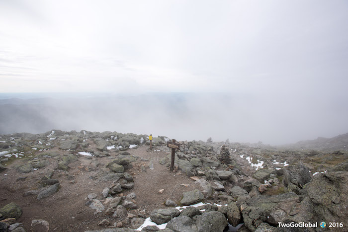
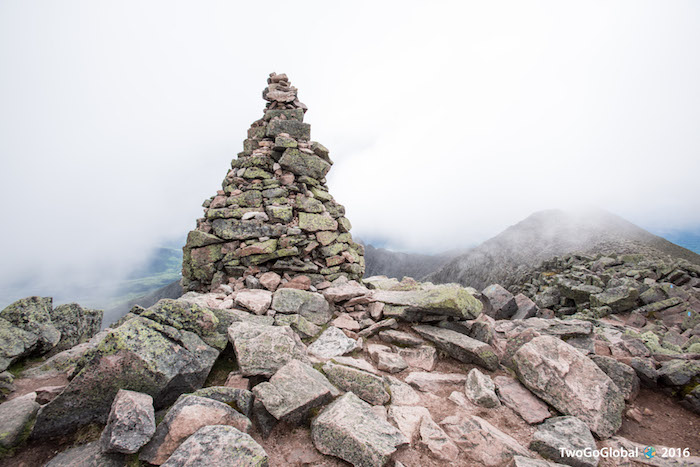
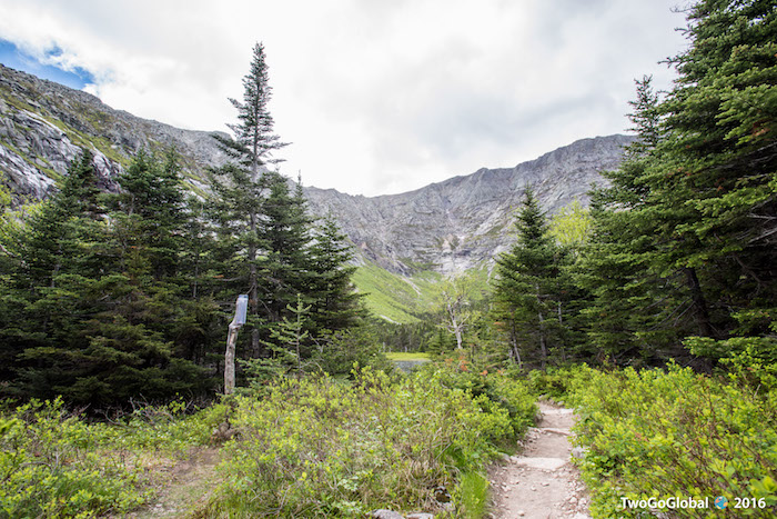
Beginning at Roaring Brook campground it was an easy hike up to Chimney Pond, covering two thirds of the distance with very little elevation gain. Now all we had to do was follow the steep Cathedral trail to the flatter plateau leading to the summit. As usual we love going up, it’s the descents that are always miserable! Once on the plateau all we could do was follow rock markers to the cold, cloud covered highpoint of Maine. A quick turnaround, reluctantly skipping the cloud obstructed Knife Edge, took us down the slick Saddle trail, eventually rejoining the same route we took going up.
As a dynamic duo we now have four from four, knocking off most of the northeastern highpoints. This area of the US has been a great starting off point with everything so far being straightforward, although as altitude increases so will the challenge. Bring it on…
June 6th – June 15th 2016


