Arizona – Humphreys Peak
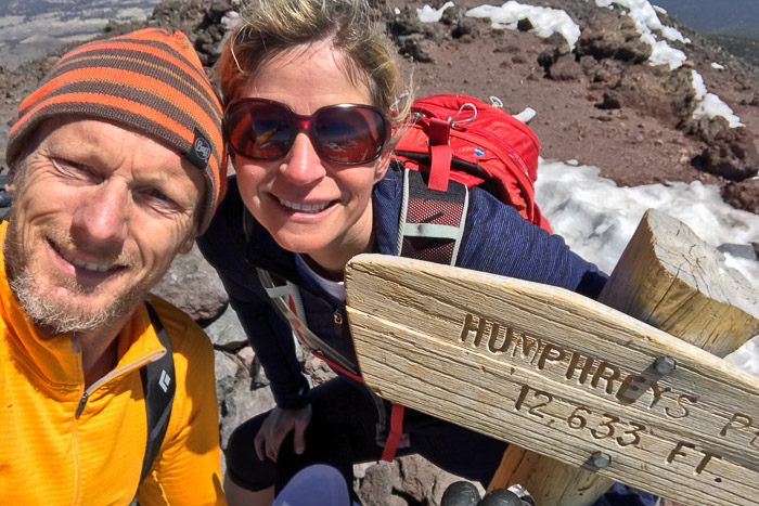
Elevation: 12,633′ ● Summited: 5/5/17 ● Route: Up/ Down: Arizona Snowbowl-Humphreys Peak Trail
Once again we’re heading back to parts of the United States that we’ve been very close to on numerous occasions, prompting the question as to why we didn’t think about banging highpoints out when we did our grand tour of the west! Last time we were in Arizona was for the Grand Canyon and a flying visit to Sedona, totally skipping Flagstaff, the cool city we were now going to be spending the next 3 nights.
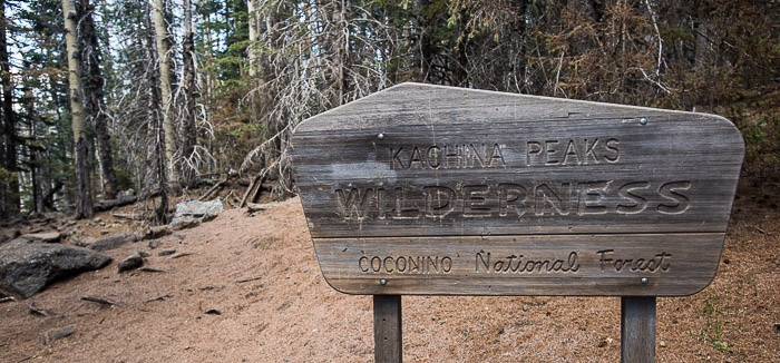
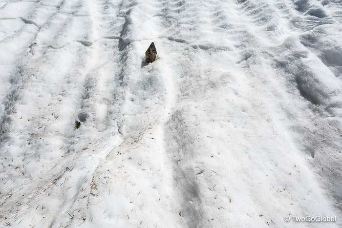
Humphreys Peak is located within the Kachina Peaks Wilderness in the Coconino National Forest, a short 11 mile drive north of Flagstaff. The trail ran alongside the Arizona Snowbowl Ski Resort which we knew was still open at weekends so a significant amount of snow must be present up high. We still had no snowshoes but had managed to borrow a couple of sets of microspikes, small flexible crampons that slip over hiking shoes, and then rented trekking poles for a mere $6 from a store in town. This combo would have to do.
After wondering around aimlessly for almost an hour we decided to just head upwards, trying to take a direct line up through the forest which would hopefully pop us out above treeline with a clear view of the mountain. Occasionally we would stumble across footprints and an ill-defined trail which gave us some level of confidence, although some of the footprints were probably our own from going round in circles! Later than anticipated we eventually did exit the trees and pick up stakes marking the trail.
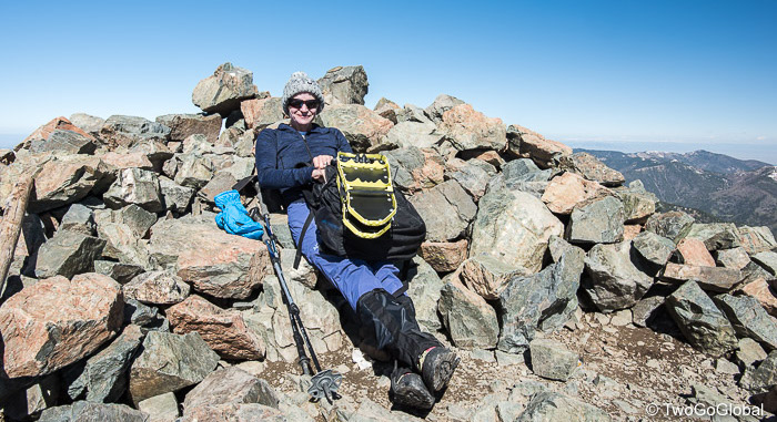
An unforeseen detour after losing the trail not for the first time took us up, over, and around snow covered boulders, through large shrubs, all the time keeping a nice dropoff to our right. Surely this wasn’t the trail! Fortunately before long we dropped down towards another marker which led us up and over a few false summits before finally we couldn’t go any higher. Another clear day greeted us at the 12,633′ summit.
Other than a bit of bushwhacking and scrambling through snow covered rocky slopes the descent turned out to be far more straightforward than the ascent. We even seemed to find and follow a lot more established trail!
New Mexico – Wheeler Peak
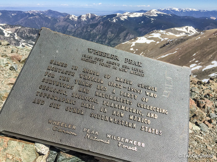
Altitude: 13,161′ ● Summited: 5/27/17 ● Route: Up/ Down: Williams Lake Trail
Spending a few days in Taos, kind of on the way back to Kentucky from Breckenridge, was an easy call and also a way of bagging 3 state highpoints during our long drive east. We had been to Taos before and quite like the hippy area, complete with great looking adobe houses, art and coffee shops, and of course Wheeler Peak, the state’s highest point.
Our first couple of nights were spent at an amazing airbnb, owned by a guy out of San Diego and recently refurbished for weddings and family get-togethers. We took the attached casita and were more than happy, even managing to save $25 by doing the cleaning ourselves! More often than not hosts would never even know that we’d stayed in their accommodation.
Saturday had the best weather forecast for the Sangre de Cristo mountains and also ensured we had a full day of hiking, assuming the recent high winds stayed away. The day prior we rode our fatbikes the 30 mile roundtrip/ 3,000 vertical feet up to the Williams Lake trailhead, partly to check on the high mountain conditions, mostly to sit and drink beer on the Bavarian Inn deck located right at the trailhead!
Awakened with a pre 5am alarm call, as we are all too frequently when making these big hikes, we chowed down on our regular healthy fruit and nut breakfast, grabbed our new snowshoes and drove the 30 minutes to the trailhead. The morning wasn’t too cold and the start of the trail didn’t seem too bad, that is until once again we missed a turn and found ourselves following a lone set of footprints through an ever denser forest! Time to backtrack. The obvious trail turned out to be well worn for the first 2 miles up to Williams Lake.
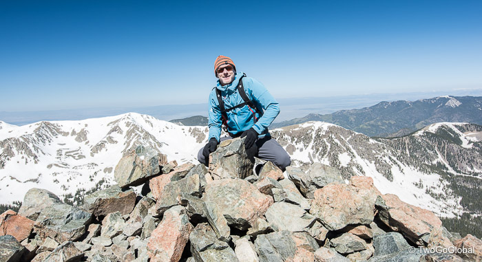
Due to the hardpacked conditions we decided not to bother fitting snowshoes unless the snow became mushy or there were no footprints to step into. Neither materialised, at least not on the ascent. After the lake the trail became far steeper and any slip would have resulted in a potentially fun glissade. We kept on carefully stepping into other prints, selecting the most direct of the numerous trails heading up to the upper reaches of the mountain. A short but demanding mile and a half popped us out on the final windy ridge that led the last few hundred metres to the summit. The day had gone well with us passing everyone else heading up – we’re turning into hardcore highpointers! On the summit we were fortunate to be able to duck down beside a small rock structure to escape the winds and eat breakfast before having to navigate the steep descent!
We donned snowshoes pretty quickly and after a 2 minute lesson to ourselves began putting one not-so-comfortable foot in front of the other. It’s amazing how quickly our confidence in new gear grew and before long we were both moving over the steep terrain without any issues, even preferring to avoid the steps of other hikers. Having our own equipment is paying off, mainly as we know that it’s in tip top condition, and the need to pay rental costs has now gone. Adventure clothing and gear now far surpasses all our other belongings!
The only thing lacking on this hike were microspikes, very useful slip-on crampons for the slippery snow and ice we continuously encountered. Both sets were inconveniently waiting for us in Kentucky.
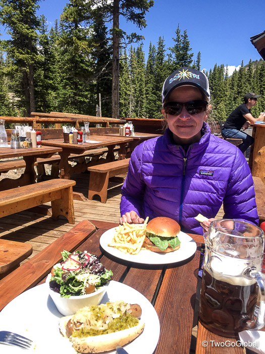
It was nice to cover the final mile and a half back on flatter terrain with nothing more than a few light falls. The sunshine drenched Bavarian Inn and an eagerly anticipated lunch and beer was our reward for a mere 7 miles of graft.
Oklahoma – Black Mesa
Altitude: 4,973′ ● Summited: 5/28/17 ● Route: Up/ Down: North Flank Route
We were continuing on with our peak a day strategy, departing the Taos Ski area for a 200 mile easterly drive to Wheeless, Oklahoma. The entire route took us on a remote drive through small New Mexico towns scattered along endlessly straight roads. The final twenty miles were along the New Mexico/ Oklahoma border before turning east once again to the empty place they call Wheeless.
With Oklahoma came dark skies, and getting darker by the minute – we didn’t need weather.com to tell us of violent thunderstorms in the area! By the time we were ten miles out lightning was flashing all around us, closely followed by something neither Andrea nor I had ever experienced, golf ball sized hail. What started with a single thud on the roof of the SUV soon turned into a full on attack from above. Andrea, usually a calm driver tried to pull over at about the same time as it sounded like our windshield was about to be obliterated by the hail. We needed to get the hell out from under these brutal skies and into the nearby azure ones!
By the time we pulled into our accommodation at the Great Plains Bunkhouse the hail had turned to light rain and the sun was trying to make a welcome appearance. Our windshield had made it intact, just a pity the roof and hood of our SUV were now covered in dents and the tail light had taken a direct hit – the power of a Great Plains storm was amazing!
In sharp contrast to the previous day the weather on our 8.4 mile hike through the Black Mesa Nature Preserve was perfect. Almost an hour drive from Wheeless, the scenic road took us past the state park with the same name, incidentally a place we very nearly camped at – then on to the actual trailhead. We weren’t the first people to hit the trail and by the time we left it was a busy place.
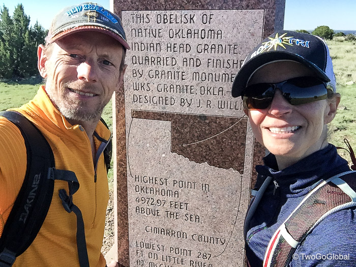
The actual hike was peaceful, relatively flat and unfortunately offered no snakes or other wildlife viewing – apparently there are plenty of poisonous snakes in the park! It did provide really nice landscape with buttes, mesas, prairie and plenty of cacti along the well marked trail. The highpoint itself is a polished granite obelisk built in the 1950’s and located in Cimarron County, the only county in the United States that borders four states: Colorado, Kansas, New Mexico, and Texas.
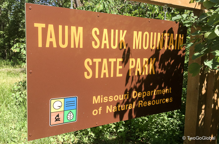
Missouri – Taum Sauk Mountain
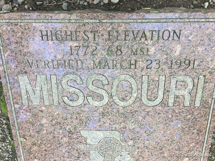
Altitude: 1,772′ ● Summited: 5/29/17 ● Route: Up/ Down: Taum Sauk Mountain State Park Trailhead
Including a night at the historic Best Western Route 66 Rail Haven hotel in Springfield, Missouri this next leg was a lengthy 790 mile drive from the end of our previous days hike, fortunately diverting us only minimally from our route back to Kentucky.
After almost puking from the relentless winding road through conservation areas, scenic riverways and national forests we arrived at Taum Sauk Mountain State Park in preparation for what we thought would be a 2-3 mile roundtrip hike. Our fully loaded SUV was reversed as far back into trees as we could go to try and ensure the attached bikes stayed secure before we left for an anticipated hour long hike.
We walked and we walked and we walked, probably taking all of a few hundred steps until we came across a family hanging around a rock sitting amongst the trees. Surely this couldn’t be it? We had prepared for a hike and stumbled upon the highpoint within 5 minutes of leaving the vehicle! Definitely a bit of an anticlimax but we still had a long way to drive and I hate leaving our SUV with all of our worldly belongings parked up in a forest lot.
May 5th – May 28th 2017

