Having more time than anticipated after hammering through the last batch of six highpoints we realised that the next six were still en route to Florida and all surrounding the city of Asheville, North Carolina. There was no excuse that during our week with a good friend we could not get them all hammered out!
A five hour drive from northern Virginia took us to Mount Rogers, followed by a short drive west to knock off Black Mountain in Kentucky, then during our stay in Asheville we hit the North Carolina, South Carolina and Tennessee highpoints before ending with Georgia. There would be no more in 2017 so it was nice to end with a 38 from 50 total.
Adding Hawaii to this blog was an afterthought, something that we went back and forth on due to the summit being too short of a walk from the car parking area – little did we know that there are many other states that are total drive-ups. Other than me climbing Denali back in 2003 this was the first, if not totally unplanned back then, state highpoint that Andrea and I had both made it to the top of.
Hawaii – Mauna Kea
Altitude: 13,803′ ● Summited: 10/3/11 ● Route: Up/ Down: Drive followed by quarter mile hobble
Being on the big island of Kona primarily to see the Ironman world championship, especially whilst still recovering from a busted ankle, was always going to be a challenge. Crowds and fun things to do were going to take a toll! Back then highpointing was something we had never even heard of but how could we be in such an amazing place and not stand on top of the highest peak. Our main reason for being up there was for Mauna Kea’s sunsets and observatories – hobbling around with an oversize boot meant that the thought of scrambling up a hill was a distant one.
Beyond the picturesque Saddle Road we took a left turn onto Mauna Kea Access Road, ignoring the warning signs about the steepness of the road leading up to the observatories and the fact that rental car companies typically don’t allow it. The drive up to the visitor center at 9,200′ was all paved, beyond that it turned into a winding gravel road where maybe a 4WD vehicle would have helped – seeing other economy size rental cars heading down made the decision easy!
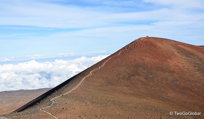
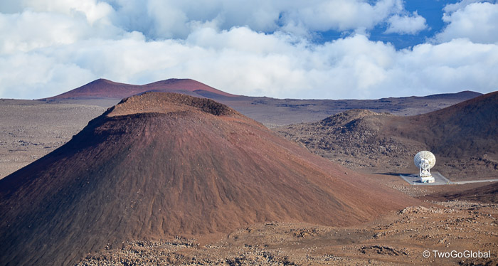
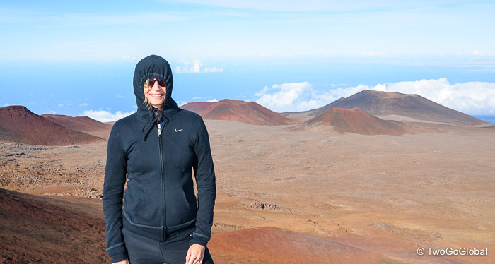
The views from the top were stunning and with the perfect weather conditions we felt like we could see forever. Observatories and dishes scattered the lunar looking landscape and nearby a dirt trail meandered to the top of what was clearly the highest point. Very few other people were making the short ascent almost giving us the summit to ourselves. A hobble up and a hobble back down and we were done – we had no idea back then that this would be the start of things to come.
Virginia – Mount Rogers
Altitude: 5,729′ ● Summited: 11/5/17 ● Route: Up/ Down: Rhododendron & Appalachian Trail
Leaving Alexandria in the north of Virginia we had an uneventful five hour drive ahead of us to get to our Sufi Lodge accommodation in Troutdale. As usual I didn’t want to leave our bikes sitting on the back of the car in the middle of the boonies! A further 30 minutes of winding road took us to the Massey Gap trailhead in Grayson Highlands State Park, hopefully arriving in time to bang out the 8.4 mile roundtrip hike before dark. Selecting a different trail outside of the park would have saved us the $7 parking fee!
Probably due to the excellent November weather it seemed like the entire state of Virginia had the same idea as us – the parking area was packed. Luckily there were numerous trails heading off in different directions leaving the Mount Rogers trails far from overwhelmed with hikers. This suited us. Other than a slight detour along a rocky Hikers only trail we followed a well trodden 4.2 mile route along Rhododendron and Appalachian trails giving us almost 1,300′ of elevation gain in an hour and thirty minutes. Perfect timing for a 3 hour return trip with enough daylight remaining to retrace the drive back to our accommodation – this area has absolutely no AT&T cellular coverage, and no cellular meant no GPS.
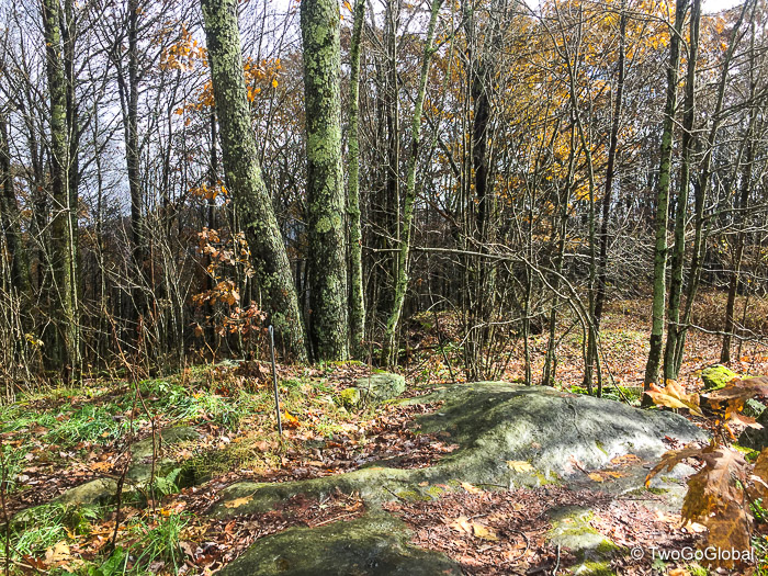
The hiking up to Mount Rogers took us across meadows, up rocky outcroppings, through forest, eventually topping out in an eerie wooded area with moist moss draping from rocks and tree limbs. It was easy to see why this area is declared Wilderness, National Recreation Area and National Forest. On top of its natural beauty the biggest tourist attraction must be the 100 or so extremely photogenic and fearless feral ponies that roam free within the park.
Kentucky – Black Mountain
Altitude: 4,145′ ● Summited: 11/6/17 ● Route: Up/ Down: Drive-up
Although in the same state as Andrea’s parents we luckily never got around to making the 7 hour and 320 mile roundtrip drive. Black Mountain and its summit are located in rich coal mining country, between the towns of Lynch, Kentucky and Appalachia, Virginia. The private ownership puts the actual highpoint off limits without a waiver.
With Andrea’s work schedule and the sketchy cell phone coverage in this part of the Appalachians we had to make the summit over an extended lunchtime. We hopped from town to town en route from our previous days Virginia highpoint, fortunately maintaining some level of phone connectivity – Troutdale to Abingdon to Norton and on to Appalachia, before completely losing signal on the final ten mile drive along Black Mountain Ridge Road.
Although we missed the best of it trees in their Fall colors still lined the twisting and turning scenic highway that eventually led us up to the Virginia Kentucky state line. A sign indicated the highest point on the narrow highway, but we knew better – a leaf covered turnoff continued on for a further mile to the actual highpoint. Luckily as we made the turn somehow I missed the small sign indicating that this was private property! With no one else around and not wanting to bail before making it to the true summit of Black Mountain we continued along the pot-holed dirt road, clearing felled tree branches and passing by a large FAA radar. The end of the trail was an eye-sore with old radio towers, communication buildings, and right alongside a domed rock and small monument indicating the true summit.
South Carolina – Sassafras Mountain
Altitude: 3,560′ ● Summited: 11/10/17 ● Route: Up/ Down: Foothills Trail
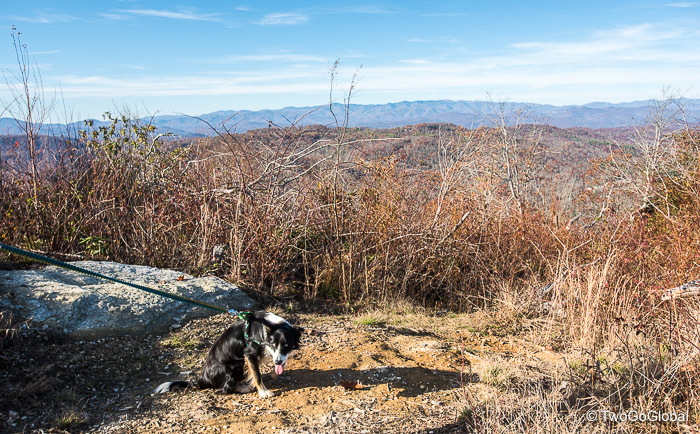
The first of a trio of highpoints scheduled over the weekend, all within a ninety minute drive of Asheville, North Carolina. Being a drive-up we could have tagged the top without any effort, instead preferring to at least get in some kind of a workout. With our friends Border Collie in tow we parked up at Chimneytop Gap leaving us a roundtrip hike of 4.5 miles – this would be a warmup for the next two days hiking!
It would have been nice to park a little further along Hwy 178 and get in an 8 miler but we took one look at the trailhead and decided that this probably hadn’t been used in an eternity. Maybe it was all the fallen leaves that obscured everything but we really weren’t inclined to bushwhack and have to turn back due to trail conditions. Chimneytop Gap it was then.
Also thick with leaves but a little more defined this route took us along part of the 77 mile Foothills Trail, gaining a little over 1,000′ in elevation. We were now straddling the Carolinas with the highest point of Sassafras Mountain barely in South Carolina. Having high energetic Baxter along to keep us on our toes was a welcome break from hiking alone.
Tennessee – Clingmans Dome
Altitude: 6,643′ ● Summited: 11/11/17 ● Route: Up/ Down: Appalachian Trail
This would be our first time hiking in the huge Great Smoky Mountains National Park, the busiest National Park in the United States. With the Appalachian Trail running through the center and over 800 miles of trail meandering through it the opportunities were endless – with our anticipated mileage we were barely making a dent.
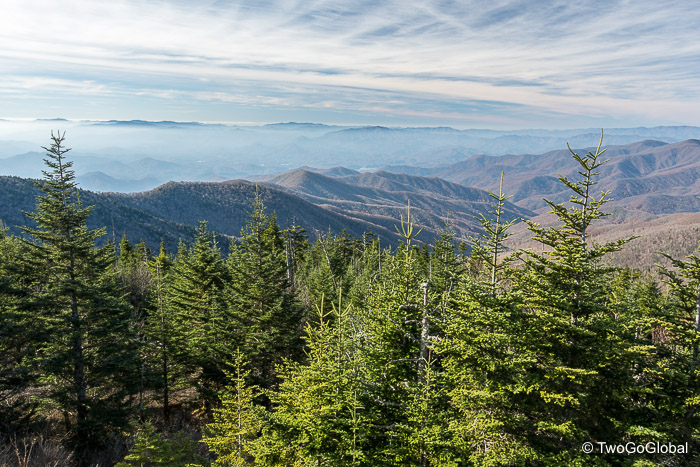
With Fall colors all but gone the drive was still pretty amazing, taking us along the scenic Blue Ridge Parkway and on up to a very winding Clingmans Dome Road. We had decided to start at the summit and hike along the Appalachian Trail until we’d had enough. I had a cool looking loop planned that would have taken in some of the AT, a long descent followed by an equally long ascent, totaling over 18 miles – Andrea’s refusal due to the distance and creek crossings threw a spanner in the works for that one!
…and so it was that we headed up on the half mile paved walk to the actual highpoint, at this point in the day still fairly quiet, before heading north on the well worn Appalachian Trail. Quietly optimistic that we might make it as far as Newfound Gap, 8 miles along the trail, we kept on hiking. This also wasn’t to be and including a short detour to Mount Collins shelter we ended up with a not too shabby 12 miles. Our arrival back at Clingmans Dome was perfectly in synch with the other ten thousand visitors that had braved the cold weather, most puffing, panting and complaining about the measly one mile out and back from the parking lot.
North Carolina – Mount Mitchell
Altitude: 6,684′ ● Summited: 11/12/17 ● Route: Up/ Down: Mount Mitchell Trail
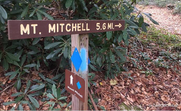
Hiking with our friends, Karen and Doggie Baxter, made the day much more fun. Having local knowledge was a bonus. Todays challenge was to tag the summit of the highest point east of the Mississippi, taking the well worn Mt Mitchell trail. To make things a little more interesting I added a 50lb pack into the mix – this would definitely be harder work than lugging it up Sassafras 2 days prior.
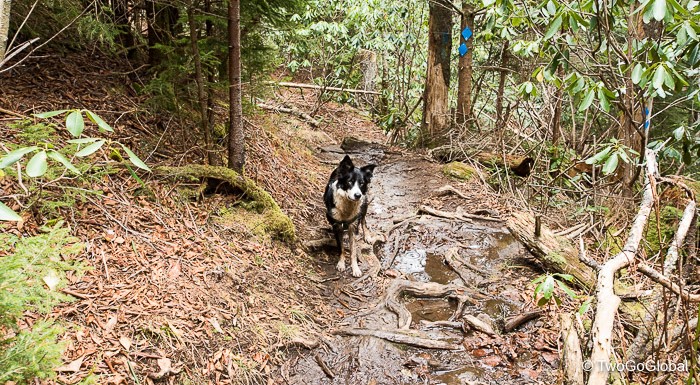
Beginning at Black Mountain campground the trail took us entirely through forest with occasional views of surrounding tree covered mountainsides. The terrain was very different to our recent hikes out west consisting primarily of root and rock covered trails, all at a far lower altitude. Whatever the conditions the heavy pack still felt heavy!
With absolutely no downs it was a matter of putting one foot in front of the other and grinding it out over the five and a half miles. The 3,700′ of ascent wasn’t as difficult as expected. Completely clouded in at the summit we didn’t waste anytime in the cold weather – almost everyone else up on top had driven up! As usual the descent was tough on the knees, fortunately over much quicker than the uphill. Maybe having Baxter running alongside covering 2-3 times our distance kept us pre-occupied.
Georgia – Brasstown Bald
Altitude: 4,784′ ● Summited: 11/14/17 ● Route: Up/ Down: Brasstown Bald Trail
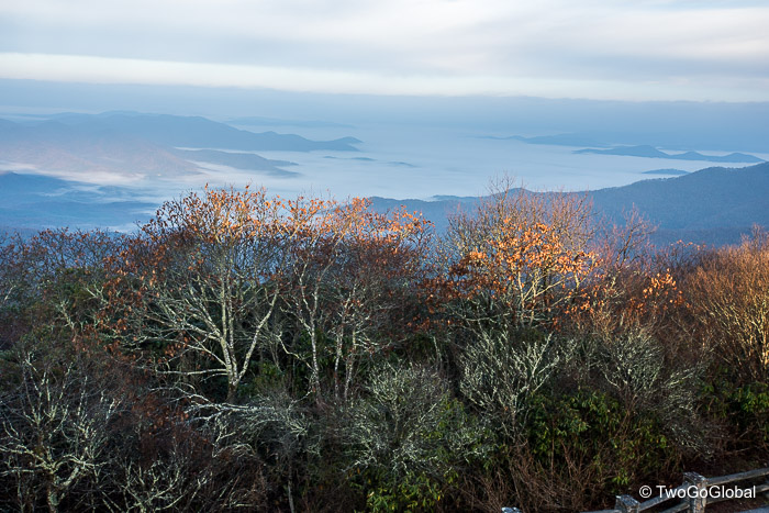
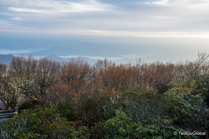
Staying the night in Hiawassee on the shores of Lake Chatuge left us with an easy 16 mile drive to the large parking area. We had to bag this one before Andrea started work so made sure we were on the road by 7am – turns out that with morning fog, clear skies and a scattering of clouds, we should have taken advantage and left earlier to see an amazing sunrise from the summit.
As we made the final 2.5 mile drive along Hwy 180 spur road the rising sun illuminated the surrounding forest with beautiful intense color. At this point I knew we would be missing out on an impressive sunrise! By the time we reached the parking area, located a little over half a mile hike from the very top, the light show had all be ended.
The walk up ascended a further 500′ over 0.6 miles making for a pretty steep trail. I was in speed mode, part of me still hoping to catch something from the summit, another part wanting to get up and back as soon as possible due to all our stuff inside and attached to Going Broke. The only other person we saw had planned better than us and was shooting away on the summit, taking full advantage of the surrounding views and amazing conditions.
October 3rd 2011 – November 14th 2017

