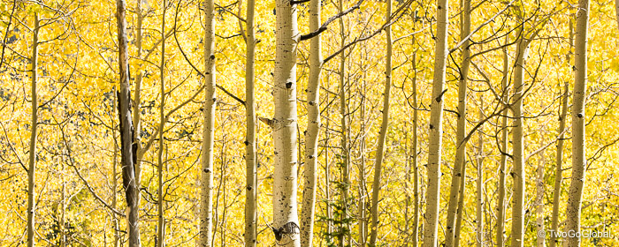
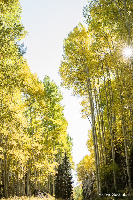
Planning on driving the entire loop in a day we departed Hermosa, a small town 10 miles north of Durango, not long after sunrise on a fresh Fall Sunday morning. The day was looking good with early morning mist rising from numerous small lakes along the Animas River, slowly clearing to reveal the first of the Aspen trees turning from green to all shades of yellows and gold. We already knew that the further north we drove the larger the percentage of trees that would be showing off their impressive fall colours.
After passing by Trimble and Pinkerton hot springs, soon followed by Durango’s local ski area, Purgatory, the scenery exploded with color and snow covered mountains. Mist had given way to blue skies allowing for amazing views in every direction. The previous days rain in Durango added further color to the San Juan mountains in the form of early season snow. We were itching to hit the mountains and begin a new quest of knocking off the 53 Colorado fourteeners (in winter)!
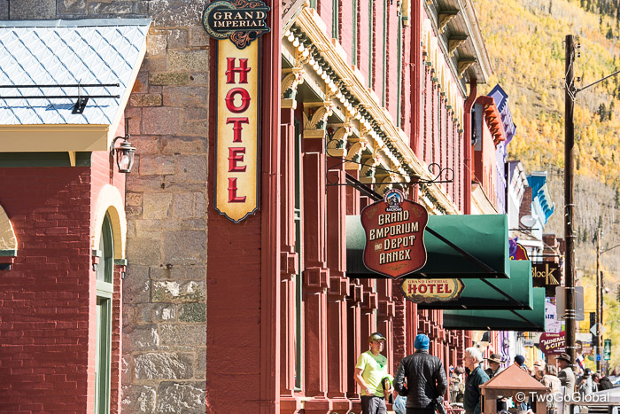
Our first port of call was Silverton, a former mining town with a cool looking historic Main Street. We had driven for an hour and in the 48 miles gone from 6,500′ up to a little over 9,300′ in elevation. Other than a quick coffee we didn’t dwell as this is the termination point of the Durango & Silverton Narrow Gauge Railroad train, a trip we are making the following weekend. Our arrival had also coincided with a photo op for the finishers of the previous days (and for some, well into the early hours of Sunday) 100km mountain trail running race. Hardcore!
From here on up over Red Mountain Pass and on to Ouray the highway is known as the Million Dollar Highway, either due to the million Dollar construction price tag per mile or after the substantial profits made from mineral deposits. This was definitely the highlight of the drive, made even more impressive by the magnitude of cutting many of the switchbacks through the side of mountains. The lady in the Tourist Info office in Durango had warned us not to do this traveling south due to the lack of guard rails protecting drivers from the huge dropoffs – I explained that nothing could compare to our journeys on Bolivia’s high altitude and jungle dirt roads at the hands of drunk bus drivers! To give her credit there were places with barely a foot of dirt outside of the white line separating vehicles from a pretty hefty plummet to the canyon floor.
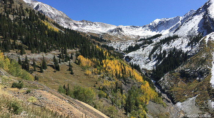
The descent of over 3,000′ into the ice climbing hotspot of Ouray was merely a continuation of the drive up to Red Mountain Pass, highlighted by a multitude of yellows in every direction and the jagged peaks of the San Juan mountains. Unfortunately we weren’t the only people taking advantage of the warm Colorado weather – Ouray Brewery was packed! Jeeps were scattered along the main street; in town to navigate the areas various 4×4 trails such as 13,114′ Imogene Pass, Black Bear Pass and the Alpine Loop. If only Going Broke, our 4WD Pathfinder had a few more inches of clearance and a skid plate!
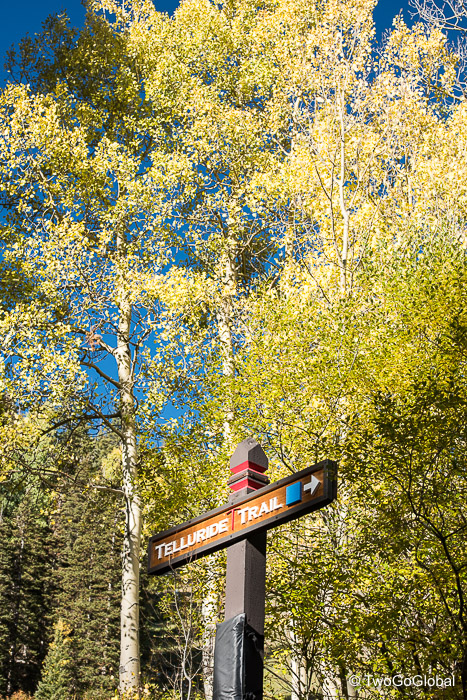
Due to us not being able to take the seasonal Imogene Pass to Telluride we were forced to continue north on Highway 550 to Ridgway then southwest to Placerville and on into Colorado’s most beautifully located ski town, Telluride. Whilst researching the San Juan Skyway drive we curiously looked into property prices in town and were not impressed – $350k gets around 320 sq ft of living space a few blocks from Colorado Avenue. More than a thousand Dollars per square foot, the price to pay for living in the same town as Tom Cruise and Oprah Winfrey!
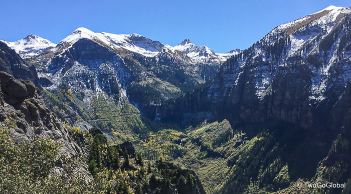
Set in a narrow box canyon with Bridal Veil Falls at the head of the canyon, the town deserves its stature and numerous accolades for regularly being the best ski town, most beautiful and most friendly. With no stop lights, no chain stores and no neon signs, the only downside being the 6.5 hour drive to Denver airport. We could absolutely move here!
The obvious highlight of town was Colorado’s tallest free falling waterfall, Bridal Veil Falls, and with the access road being the lower reaches of Black Bear Pass it was worth taking Going Broke as far as possible. Despite not getting too far by vehicle the scenic walk up the switchbacks to the base of the falls was worth the hike. Given more time the 4×4 trail followed more switchbacks continuing on up to the caretakers home for the hydroelectric power plant located at the top of the falls. Although it wasn’t clear from the lower trail the following day whilst riding another of the 4×4 trails the switchbacks could be seen precariously winding their way up beyond the house, eventually disappearing into the snow covered mountains.
Not part of the days plan but over late lunch we came across The Victorian Inn and its discounted $85 (plus taxes) per night rate. We still had a few hours to complete the full San Juan Skyway loop so took the decision to enjoy Telluride until Andrea finished work the following day! Rushing out of town also meant that we would have missed taking the free gondola ride to the ski/ mountain biking area and over to Mountain Village with its outdoor shops and restaurants. Surprising to us was that the gondola runs from 7am until midnight, extended until 2am over the weekend, almost all year around. Good job Telluride!
Monday started off to a chilly 24°F, a temperature that wouldn’t have made flying down hill on a mountain bike too exciting. Instead, taking the gondola up then hiking down through the forested hillside into town was deemed far more appealing. Mountain biking would wait until it was above freezing! Even with the towns location inside a canyon it wasn’t long before the sun warmed things up, providing me the chance to see what the rage is with all the 4×4 trails. I had seen the trail heading up towards Imogene Pass, etched into the opposite hillside, from the top of the gondola and knowing that it topped out at over 13,000′ I was all over getting up there.
With absolutely no water and no sunscreen I stupidly hit the dirt road, beginning at 8,750′, trying to make it the 7 miles to the top of the pass. Steadily it climbed, sometimes having to maneuver through rocky sections, sometimes with significant exposure, always with amazing views back across to the falls and mountain scenery ahead of me. Five miles later I arrived at Tomboy, an old mining ghost town sitting 3,000′ above Telluride, where from here on up I could see what looked like a snow covered winding dirt road ending at 13,100′. I still had 2 miles and 1,600′ of elevation to go! At that moment I was wishing I had brought my fat bike. After scrounging water from a passing Jeep driver I continued on up, barely making it another three quarters of a mile before throwing in the towel. The views were amazing but the snow sucked – I thought about pushing for the last mile or so but the descent would have been as bad in the slippery conditions.
Descending 3,400′ back into town was exhilarating! If we had more time I’d have turned around and gone right back up.
Neither of us had previously visited this part of Colorado and with the route passing through such impressive scenery it was going to be tough for us to dismiss it as another eventual place to settle down, that is when we’re not overseas discovering faraway shores!
For now we’ll settle for 11 days of housesitting in Durango. These were exciting times!
September 24th – September 25th 2017


