Day 14 – Linkwater to Tapawera
Accommodation: Tapawera Settle Cabin $39 NZD
Days distance: 151km
Total distance: 1743km
My first full day in the south island started with coffee and a second breakfast in the quaint town of Havelock. The droves of camper van tourists the south is renowned for were beginning to appear, a sight I was not excited about seeing!
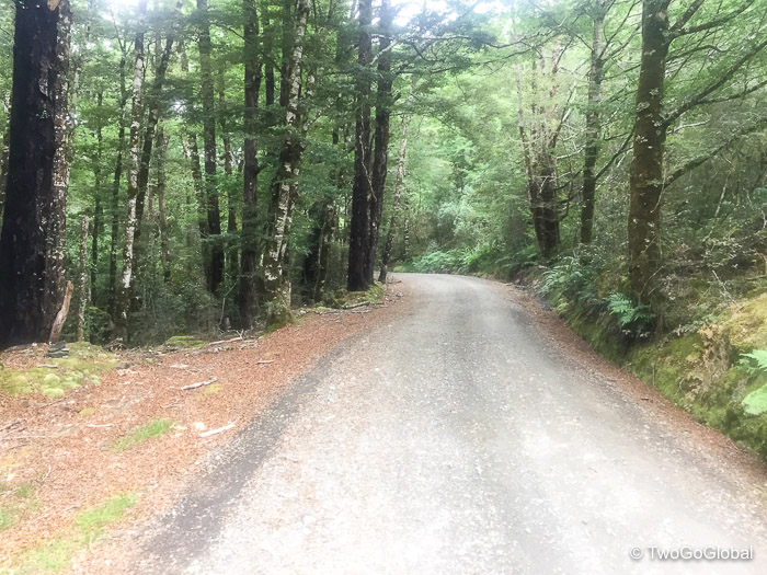
If Maungatapu had anything to do with it today was not going to be a good day – with amazing weather it ended up being the first walking of the entire ride. Welcome to south island riding! The gravel was very loose and sometimes steep enough to barely turn the pedals, with the closer I got to Maungatapu’s 735 metre summit the harder it became! Where theres an up theres a down, this one being particularly steep but still awesomely rideable if my crap Avid brakes could do their job! Turns out that as well as walking some of the up I’d be walking some downhill sections too! The downhill cruised pretty much right into the coastal town of Nelson where I knew I’d find a bike shop to get them checked out.
Also in Nelson I discovered Gnarly Ryde Dude IPA, outrageously expensive at $14 NZD, or around $10 USD a pint, but worth every penny – music to the tastebuds. A local bike shack bled the rear brakes and filed the pads for $25, making them fully effective again. I eventually left the attractive town around 3.30pm with 75km of planned pedaling. What I hadn’t noticed was the now perfectly aligned wind direction change out of the southwest, guaranteeing the next 31km through Richmond and Wakefield would be very hard work!
The headwind ensured my binge liquid intake continued and in Brightwater, a small town en route to Wakefield I came across a decent dairy (a Kiwi name for a small local food store) – I can never seem to drink too much right now! Running later than anticipated I arrived in Wakefield at 5.30pm, usually a time I consider stopping for the day. With very little on me for dinner could I make it the 43km to the 4square supermarket in Tapawera by closing time? A couple of fairly long gravel climbs stood before me. The second climb on a trashed logging road wasn’t much fun but I still managed to roll into town by 7.45pm, missing the store closure by 15 minutes! Being a weekend I was lucky – right next door was the Tapawera Hotel serving roast dinner and beer! My late arrival meant that it was an easy decision to take a basic cabin over a campsite at Tapawera Settle campground.
Day 15 – Tapawera to Springs Junction
Accommodation: Alpine Motor Inn $90 NZD
Days distance: 172km
Total distance: 1915km
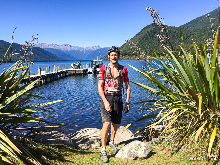
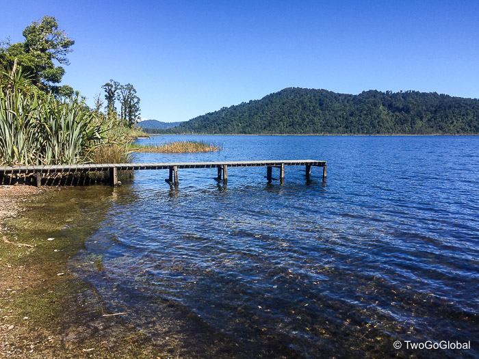
I could see that the south island was going to provide very similar riding to the north, starting the day with a long, but steady climb before hitting a far too busy highway 6. Fortunately a short 6km later and I was on a beautiful quiet road heading towards Lake Rotoroa. This was the start of the most impressive scenery I think New Zealand has to offer, and thats saying something! Gowan Bank cafe and backpackers, close to the lake was exceptional and would make the perfect place to stay and explore the picturesque location. The friendly owner provided freshly baked muffins and a rarity in NZ, coffee from a press. Very gratefully accepted. If it hadn’t been so early in the day I would have stayed as you can never take in too much of a blue lake with perfect mountain backdrop – very pretty!
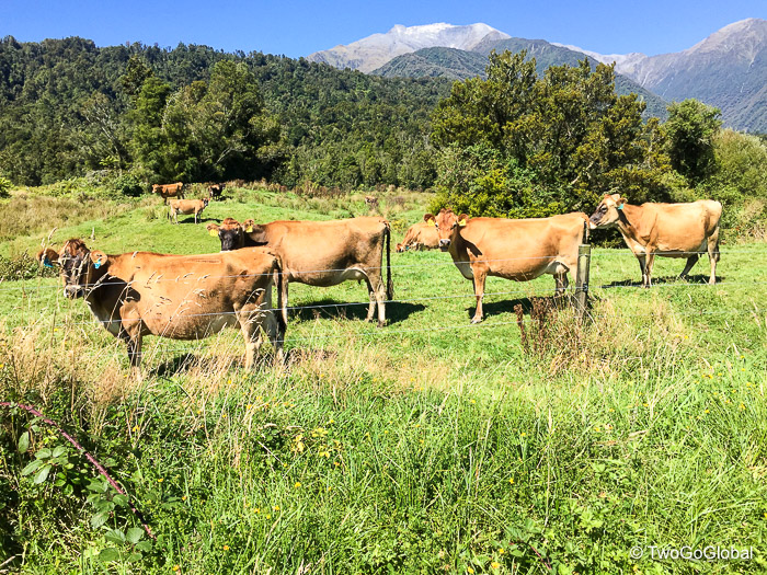
Departing the lake up the Braeburn Track, a short and steep 3km climb with multiple ford crossings set me up nicely for a 30km descent to Murchison. This area had the most amazing landscapes with farming and tree covered hillsides, accented with snow covered mountains in the distance. Should I stay in Murchison, a cute little town or go for an additional 78km ride – unfortunately I had time to continue on towards Springs Junction. If I had no onward flight from NZ there were plenty of places I would love to have ended the day prematurely and spent time at. As usual a ritual of fish & chips with a cold beer set me up for the next section, with the local 4square supermarket making sure I left town fully fed and fully loaded.
Already late in the day I now had a lonely and continuous climb up to 580 metre Maruia Saddle, albeit over a fairly long 38km. After the descent came more steady climbing to Springs junction. By far the worst section was Highway 65, abnormally busy since all east coast Highway 1 traffic heading north and south through the island was rerouted after the recent earthquake. The narrow shoulder forced 20km of near misses with trucks and endless campervans, not fun! It was a blessing to then take a parallel rough gravel road, or was it – with 10km to go the rear tire decided to take on a sharp chunk of gravel and puncture beyond what the Stans sealant could fix. Luckily a regular patch applied to the inside of the tire fixed the issue. I had no idea if it would work nor how long it would last, half expecting it to be flat again within minutes! A big day of gravel and 4wd trails was on the agenda for tomorrow too.
I rolled into a very unpicturesque Springs Junction and the Alpine Motor inn just before dark. For a second there was a thought about cycling a further 44km to Reefton!
Day 16 – Springs Junction to Ikamatua
Accommodation: Ikamatua Hotel Cabin $30 NZD
Days distance: 99km
Total distance: 2014km
I loved rolling out of bed to an instant climb. Fortunately an 800 foot climb is steady when spread over 8km. It wasn’t until the 36km descent to Reefton that I realised it was cold out, in fact the first time in the past two weeks I actually felt chilly. It turns out I should have made it the extra 44km here yesterday as Reefton was a nice little town with tasty cafes and plenty of accommodation. A plate full of bacon and eggs were devoured at the Broadway cafe before heading out on the next challenging section! What would the conditions be like?
Leaving town the first 10km was a routine gravel road up to where fun terrain began, beginning with a remote 15km section up to Big River Goldfields. The trail is only used by 4wd vehicles making it mostly super rocky with a few easier sections thrown in – surprisingly there was very little walking, and only then to try and save the rear tyre from further damage! The elevation and steepness was no different than what I’d ridden every other day, and with overcast weather made for cooler riding. At the end of the jeep road I refreshingly had to pass through Big River three times.
Entertainment came next from a couple of off-roaders stuck in a muddy rut – one of the 4wd trucks that passed me earlier was now trying to winch the other out of a ditch after the driver veered off the road looking at an old shed! Surprisingly a while later they were free as it looked like a no-win situation. I had the impression from the guide book that there would be more tough climbing before reaching an overnight hut so was pleasantly surprised when it suddenly came into view. This would have made a very tranquil place to stay the night. I made my presence known in the DOC registration book and headed off to find the Waiuta Trail.
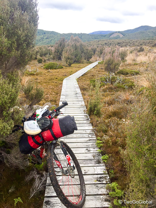
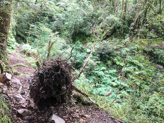
Coming with a wet trail warning in the Kennett Brothers TA guide book, the Waiuta Trail lived up to expectations! All I wanted to start with was to snap photo point 19 of the boardwalk, located a short 500 metres away on narrow wet singletrack. Even this section was miserable and involved bike pushing! I now had 11km, that’s a little over 6 miles, before reaching the Waiuta ghost town and my exit point. How difficult could it possibly be, after all I could walk that in less than 2 hours. The trail was wetter, narrower, and slicker than I expected, with smooth wooden trestles from the mining days, slick moss covered rocks, tree roots, and lots of short climbs!
The first 5km was all about pushing, with some riding when the chance was offered – this prompted a lot of choice words! I was always worried about the rear tyre blowing out again and having to waste valuable time fixing it. After 5-6km things got steadily better, although the dropoff on my left side rarely went away. The further I got into the trail the more riding and less pushing was involved, and with 3-4km left I managed to ride almost to the final gravel track that ended at an uninhabited ghost town. The switch from the worst riding to probably the best riding was a blast, with a fast gravel road descent through the forest to Highway 7, and on to Ikamatua.
In Ikamatua the bar come hotel offered cheap cabins that I was all too glad to check into, and a bonus, the store was still open. It was great to have a kitchen to prepare dinner and a bar! From chatting with the bar locals, it must have been a good ride today as they were impressed with my days riding and commented on how rough that trail is.
Day 17 – Ikamatua to Hokitika
Accommodation: Stumpers Bar & Cafe $50 NZD
Days distance: 153km
Total distance: 2167km
Days in advance the forecast called for 100% rain today, and I wasn’t going to be let down. With the first 30km to Greymouth being in light but miserably wet rain I didn’t waste anytime en route sightseeing, eventually arriving in overcast conditions. After breakfast number two at a disappointing Robert Harris Coffee Roasters and nothing much going on in town I hit the road, pretty much in synch with the next batch of rain. This time it was heavier and wetter.
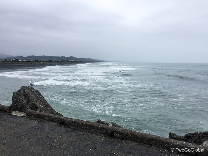
I was now on the West Coast Wilderness trail which would finish 130km later in the small town of Ross. Leaving town the trail was flat, fast and fun. I was following the coast south, keeping an eager out for penguins after passing by warning signs, and thoroughly enjoying the riding. This was the first rain and I was hoping that the bikebagdude bags were indeed waterproof. The first town of Kumara was nothing much but warranted a stop for a savoury pie, coffee and a shelter to try and dry out. I didn’t wait long and left once again in the rain, a little stronger by now – this trail would be 130km of fun trail riding in good weather. The cycle trail took me past lakes and through forest, all whilst ascending towards Milltown, aka Cowboy Paradise. As the weatherman predicted, by mid afternoon the rain slowed and slowly but surely blue sky came through – it was time to strip down to the same cycling jersey I’d worn every day. A Pearl Izumi ultra lightweight jacket had helped in the rain but was keeping me cold!
The forest track to the end of this section was awesome riding, eventually bringing me out at Cowboy Paradise, an eccentrics Wild West resort. Not for me but it was a basic, but decent place to stay over for the night with good weather, awesome views and a licquor license. With awesome sunshine overhead I headed out on a fun trail for the final 37km to Hokitika, taking me along gravel roads, winding forest tracks, whilst almost all being downhill into town. Maybe the best section of trails so far, especially now that riding with a fully laden bike felt totally comfortable and concerns about the rear tyre have dispelled.
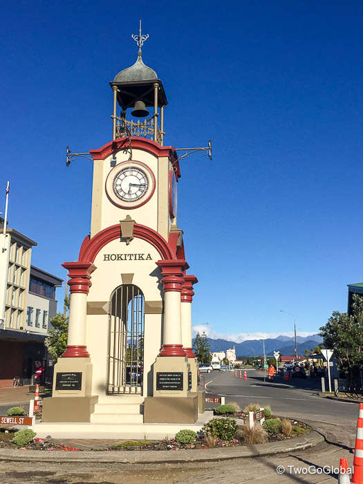
Hokitika was definitely a tourist town, the main street populated with expensive possum shops, jade shops and for me, Stumpers and its excellent food and accommodation. Pricey at $13 but how could I turn down my favorite Mac’s Cider with Chilli & Lime!
Day 18 – Hokitika to Franz Josef Glacier Township
Accommodation: Top10 Holiday Park $30 NZD
Days distance: 140km
Total distance: 2307km
The day began with a continuation of the West Coast Wilderness trail, taking me from Hokitika to Ross on more fun, flowing trail, passing through forest with some gravel and a repurposed railway line. Mostly road followed, next up Pukekura and its interesting Bushmans Cafe and Accommodation centre – if time and convenience permitted there are some really cool places to stay all throughout New Zealand. I was loving that the guide book took me away from the highway as often as possible, including a nice little 12km stretch of gravel en route to Hari Hari.
From here on south the scenery becomes stunning with lakes, glacier fed turquoise rivers, and snow capped mountains of the Southern Alps. Lake Ianthe, a particularly stunning lake was photo point 22 and almost the end of my 19th day – how could I stop after a short 63km? So I continued on… The initial plan was to stop in Whataroa after 110km but instead I went for plan B and zipped on through there too, now heading for the Franz Josef Glacier township. By now I was getting sick of all the camper vans and rental cars flying past me on Highway 6, all headed for the township which was awash with them. The sooner a trail system takes cyclists away from the highway the better!
A couple of kilometres prior to town I rolled into the Top10 Holiday Park and decided that enough was enough, when in fact I should have continued on into the centre. Usually far too touristy for me with bars, restaurants and accommodation galore, but this time I would have gone with that. Continuing with the mentality that if I save on accommodation by camping then I can splurge on food through eating out, this occasion being no different – the beer and pizza at The Landing went down a treat.
Next stop Fox Glacier…
Day 19 – Franz Josef Glacier Township to Haast
Accommodation: Top10 Holiday Park $22 NZD
Days distance: 159km
Total distance: 2466km
After running out of gas with 20km to go the previous day I needed a dose of motivation today! I also knew that with three hills (total ascent of around 600 metres) to climb before reaching Fox Glacier it was going to be a wake up call. For some reason I perform well on these early hills and made relatively easy work of them – still took an hour and a half to cycle 25km!
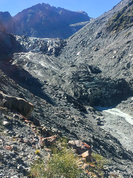
I arrived in Fox Township hungry and ready for my all too regular bacon and eggs with coffee second breakfast. I can eat like an absolute pig right now! A fun ride through native forest got me to the start of a 3km round trip hike to Fox Glacier viewpoint, not really worth it but this was photo point 23. In total there are thirty photo points that I have to email to the Kennett Brothers, authors of the guide book I’m following, to prove that I rode the entire Tour Aotearoa. The fast and flowing downhill return through the forest was a blast.
Having the Southern Alps running alongside me for the next 69km was great motivation, and again although I didn’t leave Fox Glacier until after midday I seemed to make good time. Halfway to Lake Paringa and I was back on the water, cycling along Bruce Bay and the Tasman Sea – I even had time for a snack! Next up, stunning Lake Paringa, offering up another option for a place to stay the night. I had done over 100km but felt good so decided to cycle on. The pulled pork sandwich with coffee at beautiful Bruce Bay and the beer and cake at Salmon Farm cafe must have boosted my energy!
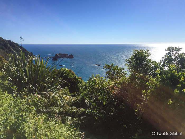
Continuing on I was back along the ocean with spectacular views from Knights Point lookout, and again whilst following the water most of the way to Haast. I didn’t bother with town as the Top10 Holiday Park got the better of me and I really needed the tent out drying for as long as possible – by now it was 6.30pm and the Garmin said I’d covered 160km including the Glacier walk! The end is in sight and with the pain that just started in my right knee I’m a little glad!
Day 20 – Haast to Lake Hawea Township
Accommodation: Lake Hawea Holiday Park $18 NZD
Days distance: 128km
Total distance: 2594km
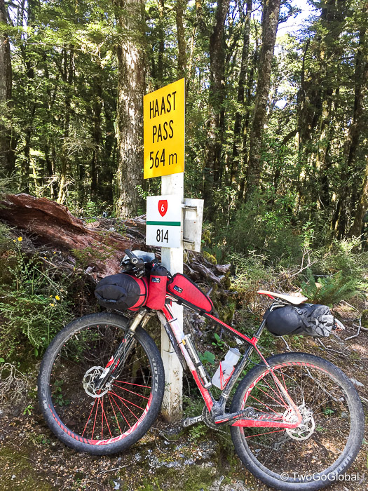
A nice easy 50km buildup took me to the base of the five hundred vertical metre Haast pass climb, following a wide mostly dried up riverbed in Mt Aspiring National Park- after Spring melt its probably a totally different beast. It was disappointing to temporarily lose the epic views of snow covered peaks! The climb up the pass was slightly under 10km, beginning at the Gates of Haast bridge to the 564m summit, most of the elevation gain being in the first couple of kilometres. I was extremely glad it wasn’t so steep all the way up!
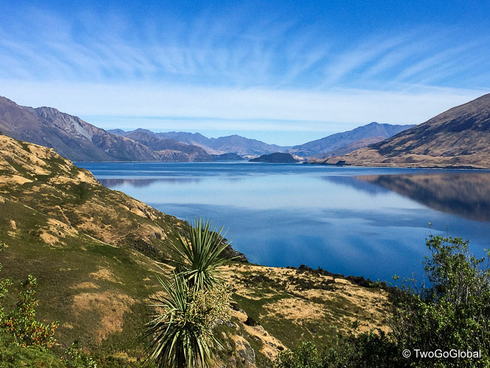
Once over the top of the pass the ride to Makarora was again littered with mountain covered vistas, missing snow but spectacular all the same. Heading further south on the road to Wanaka, now in the tourist heavy Otago District, I couldn’t help but smile whilst following the shoreline of Lakes Wanaka and Hawea – the views of the lakes shimmering under blue skies were spectacular, even if the road was like a rollercoaster ride. Kiwis are definitely anti-flat when it comes to road building! Mountains that looked like they had been painted followed the far shorelines of both lakes with the water being a perfect shade of blue, filled by crystal clear creeks all along the way.
Pig mode overwhelmed me in the township once again, this time with snacks from the local store, followed by dinner and a couple of well deserved beers at Lake Hawea Hotel. I can’t wait to stop feeling stuffed! So far I’ve still only suffered through six hours of rain in 20 days of riding – could it hold out for three more days?
Day 21 – Lake Hawea Township to Queenstown
Accommodation: Deco Backpackers $76 NZD
Days distance: 115km
Total distance: 2709km
I couldn’t have asked for a better way to start the days riding than a cool dirt trail right from the campground all the way to Wanaka, the latter section following the shoreline of Lake Wanaka. What a beautiful town full of cafes, mountains in every direction and a lake waterfront. It certainly seemed more civilised than Queenstown, its big brother sitting the other side of the Crown Range!
Departing Wanaka, a diversion sent me around the crazy busy Agricultural and Pastoral Show. Actually wished that I could have stayed and enjoyed the festivities, maybe to avoid what was to come! Oh well, I first had around 40km before the highpoint of the TA at 1076 metres. Following a busy road out of Wanaka the climb was gradual, barely making half the altitude in half the distance. A brief stop at the iconic Cardrona Hotel, something of a local attraction, before continuing the steady climb through the Crown Range to the summit of NZ’s highest sealed road at 1076m. Unlike Haast Pass it was the final 2km that did the damage and where most of the altitude was gained! I was glad to have a fast downhill looming!
Gravel followed along a road with seemingly no exit – I had slight apprehension about the reliability of the guidebook but went at it anyway. A sweeping few gravel kilometres later and I arrived in the quaint town of Arrowtown. I vividly remembered this place as being where I’d bought a pathetic cane after breaking my ankle canyoneering 6 years prior. It was far better to see it pain free! From Arrowtown it was pretty much the meandering gravel Queenstown Bike Trail all the way to its end, passing over the Shotover River, almost through the airport, then along the Wakatipu shoreline into the heart of town. Many mistakes and map consultations later and I rolled into the Deco Hostel for the night.
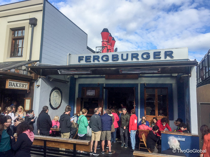
Queenstown as usual was full of life with long lines outside of the ever popular Fergburger and masses of Asian tourists waiting for evening Lake Wakatipu sailings. Extremely popular, apparently now Queenstown is the second most expensive city to live in New Zealand with house prices not too far behind Auckland. Also being the adventure capital of the country, if not the world, ensured that there were tourists everywhere, with bars, restaurants, and tourist visitor centres trying to sell everything from bungee jumps to hydro attack shark rides! I was very happy to sit down, relax, and be on the receiving end of steak and a locally brewed IPA!
Day 22 – Queenstown to Mossburn
Accommodation: Mossburn Railway Hotel $60 NZD
Days distance: 104km (plus a 40 minute $41 Lake Wakatipu crossing)
Total distance: 2813km
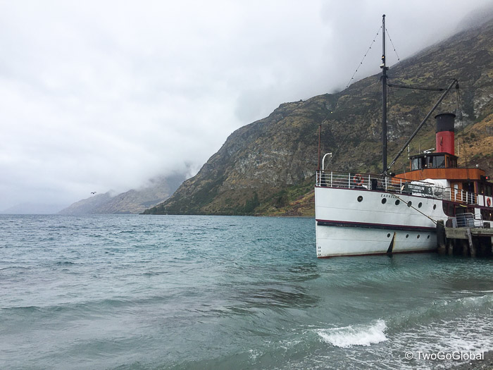
The weatherman was correct again and as expected I left Queenstown in the rain, arriving in Mossburn in heavier rain, with a mere 103km section in between also in the rain! Before the days riding began I had to get across Lake Wakatipu to Walter Peak Station, involving a $41 forty minute crossing on the touristy steam engine driven TSS Earnslaw. After watching a boat load of Asian tourists running around filming anything that moved I arrived smiling at the station, all set for the remoteness ahead. I wouldn’t smile again until arriving at Railway Hotel hours later!
Sun and blue sky would have made for an awesome riding experience! The Walter Peak Station didn’t look too shabby either, right on the lakeshore with the smell of BBQ whifting out from one of the barns. I needed to get cracking so left pretty quickly in wet drizzle, with the first 20km through sheep country, all on the privately owned land of two huge farming stations. The riding was great, slowly making altitude gains in preparation for my last significant ascent of the tour, Von Hill.
By now the rain was seeping through clothing and with the new elevation and nowhere to get cover it was beginning to cool down. With a slow descent across a plateau consisting of long gravel roads I made it to the halfway point at the Mavora Lakes turnoff. I was now well on the way to becoming miserable! The next 50km, still slowly losing altitude, had become far harder – it wasn’t until I turned around for a tuna snack under sheltered trees that I realised the wind was silent. I had been, and was now definitely riding into a headwind, sometimes slowing me to 12kph, or 7-8mph! With lots of cursing at the weather gods I continued to grind out the kilometers, eventually reaching the turn for the ‘Around the Mountains’ cycle trail – serious consideration was made to continue straight on the gravel road to Mossburn. Nah, I need to follow the book so swung a left and veered off the road and onto the cycle trail – this was a good call as the next 22km, although still being drenched, was away from vehicles and almost fun! The final countdown and I was in the small town of Mossburn, cold and soaked to the skin!
The owner of the hotel was extremely helpful and had dinner served, laundry on, and beer in hand, although not in that order. I couldn’t even have contemplated camping on this night! Hopefully the forecast for my final day tomorrow is brighter!
Day 23 – Mossburn to Bluff (Stirling Point)
Accommodation: Bluff Lodge $35 NZD
Days distance: 147km
Total distance: 2960km
Waking to an overcast morning the first thing I did was to check the forecast – apparently light rain through 9am. This was my final day, the day I would pull into Bluff and the sun would be high in the sky against a blue backdrop. I departed in the rain! Luckily it only lasted 30 minutes and that was it for the day. The damn headwind wasn’t so accommodating and hit me worse out of the east and southeast, fortunately not causing me too many issues as much of the route was directly south – I still managed 20-30kph quite often.
The majority of the downhill 73km ride to Winton was chilly and uneventful, using quiet roads and some gravel sections. My cursing had reduced a lot today, mainly due to this being the end of the journey – why get frustrated with what you can’t control on your last riding day! Winton cafe refueled me with a venison pie, followed by bacon and eggs on toast, all washed down with a large flat white! I need to keep fueling the machine.
A flat section to Wallacetown came and went, leaving the final 45km into Bluff. Once again, anytime the route took me directly east it was instant misery, and with the open exposure of cycling around the Invercargill estuary I’d slowed down a notch or two. It was nice to get back onto a gravel cycle trail again, even with the wind! Popping out at the end of the trail bought me onto one of the sketchiest sections of road on the TA, Highway 1 and the continuous flow of logging trucks, trailers, and all other port bound traffic – apparently this far south they have no respect for cyclists! I survived the narrow shoulder from truck carnage but then the bikes rear end went spongy! Damn puncture, with only 6km to reach Bluff and a couple more to the bottom of the south island at Stirling Point, this wasn’t fair! No time for repairs, the end was in sight, so let’s just keep adding air – this worked once or twice until the valve core came unscrewed with the pump and refused to come apart! I eventually limped to Stirling Point with part of the pump still attached to the valve.
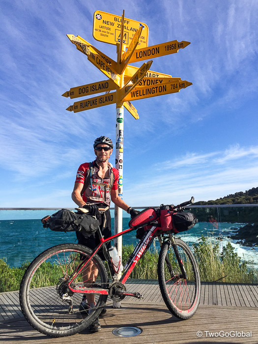
Mission accomplished, and at 5.30pm, some 22 days and 9 hours after leaving the DOC campground at Cape Reinga I was finished cycling! I was so happy and couldn’t quite comprehend what I had just achieved. I don’t recall ever riding more than two consecutive days before, never mind twenty three.
Bring on the Tour Divide, bring on Banff…
Bike
Bikebagdude roll bag
Bikebagdude top tube bag
Bikebagdude handlebar storage x2
Oveja Negra seat bag
Lezyne bike pump
Water bottle & cage
Garmin 520 GPS bike computer
Exposure Joystick MK 11 front light
Rear light
Abus bike U lock & cable
Spare 29″ tube, Stans sealant, lube, multi tool, rag, screwdriver, chain tool, tyre levers, patch kit, brake pads
Spare spokes (bought in Wellington en route)
Camping
Terra Nova Elite 350 sleeping bag
Big Agnes sleeping mat
MSR propane stove
Propane bottle
Snow Peak titanium cook pot
Snow Peak titanium mug
Titanium spork
Knife
Clothing
Halo sweat band
Rudy Project helmet (broke at Pouto Point when bike fell on it)
Butte 100 jersey
Gore bib
Endura mtb shorts
Cycling socks
Specialized mtb shoes
Specialized bib (bought in Auckland due to butt issues)
Pearl Izumi lightweight rain jacket
Kathmandu lightweight jersey
Kathmandu long sleeve jersey
Leg warmers
Boxer shorts x2
Chacos
Team CoreCo jersey SPARE
Cycling socks SPARE
Misc
Camelback 2 ltr bladder
Towel
Toiletry bag: soap, shampoo, toothbrush, toothpaste, bandaids, earbuds, baby butt cream, neosporin antiseptic cream, zenpack antibiotics
Suncream
Bug spray
Butt cream x3 types
iPhone charger
Various charging cables
Camera and charger
Head torch
Duration: 22 days 9 hours
Distance: 1922 miles/ 3093km
Altitude gain: 98728ft/ 30092m
Average accommodation cost: $29.98 NZD per night
Total cost: $96 NZD per day inc. flight, ferries, jetboat ride, food, accommodation, bike repairs
Bike Problems
1. Two rear spokes replaced in Whanganui, one broke on Timber trail and the other the following day on gravel out of Taumarunui
2. Rear brake bleeding and pads filing in Nelson – failed at the top of the Maungatapu Saddle
3. Rear tyre puncture that Stans couldn’t fix 10km from Springs Junction on gravel road
4. Rear tyre problem 6km from Bluff – inflated numerous times and made it to Sterling Point. Valve core came unscrewed with pump and couldn’t separate the two!
Dates
March 3rd – March 13th 2017

