After what felt like an eternity it was a random email from a good friend in the US that prompted a plan of attack for the remaining 8 state highpoints. Unfortunately they were spread far and wide and included four that required some level of technique and multiple days. We knew 2 weeks wouldn’t be enough time but went with that anyway.
The Arkansas and Louisiana summits would be easy but required a chunk of driving from Dallas, then Guadalupe Peak in Texas wasn’t too far from El Paso, and the fourth comfortable peak was Boundary in Nevada, accessible from Las Vegas. These would all suck in the sizzling heat of summer but were technically no more than scrambling and hiking. But what others could we squeeze in; the thought was Hood and Rainier – too late in the season with rockfall and open crevasses. So could we manage Granite in Montana and Gannett in Wyoming, both reputedly tying for technicality behind Denali. Due to Gannett taking 5 days we planned on a couple of days to tag the Montana highpoint instead. followed by a couple of days in Yellowstone and Grand Teton. The required flights and hours driving weren’t going to help global warming!
Nevada – Boundary Peak
Elevation: 13,147′ / 4007m ● Summited: 19/8/24 at 10h27 ● Route: Up/ Down: Queens Canyon Mine Trail – Inyo National Forest
Arriving into Las Vegas, even at 22h, was more brutal than expected in the desert heat. Luckily our friend/ climbing partner, Jose, was there to meet us in an air conditioned SUV and whisk us to an air conditioned hotel! We had plenty of time to bullshit and catch up over the coming 48 hours – after a leisurely breakfast and food shop it was 4 ½ hours of remote driving to the trailhead.
The overnight temperatures had cooled off significantly by dawn but we knew this was temporary. It would soon be well over 100’F, especially in the lowlands. The only saving grace was that the Boundary Peak hike starts at 2760m and would be considerably more tolerable. The final hour of driving took us onto a gravel track, Chiatovich Creek Rd, that became worse and worse over the course of 14 miles until the wheels of our pretty useless 4WD dug themselves into the loose trail – we had bottomed out the vehicle and had a wheel spinning in thin air! The remoteness of the area meant no one was coming by to assist so we dug ourselves out, fortunately managing to reverse back downhill and into a flat area off the side of the trail. This was our forced stop for the night! Luckily we were less than a kilometre and a couple hundred vertical metres from the trailhead.
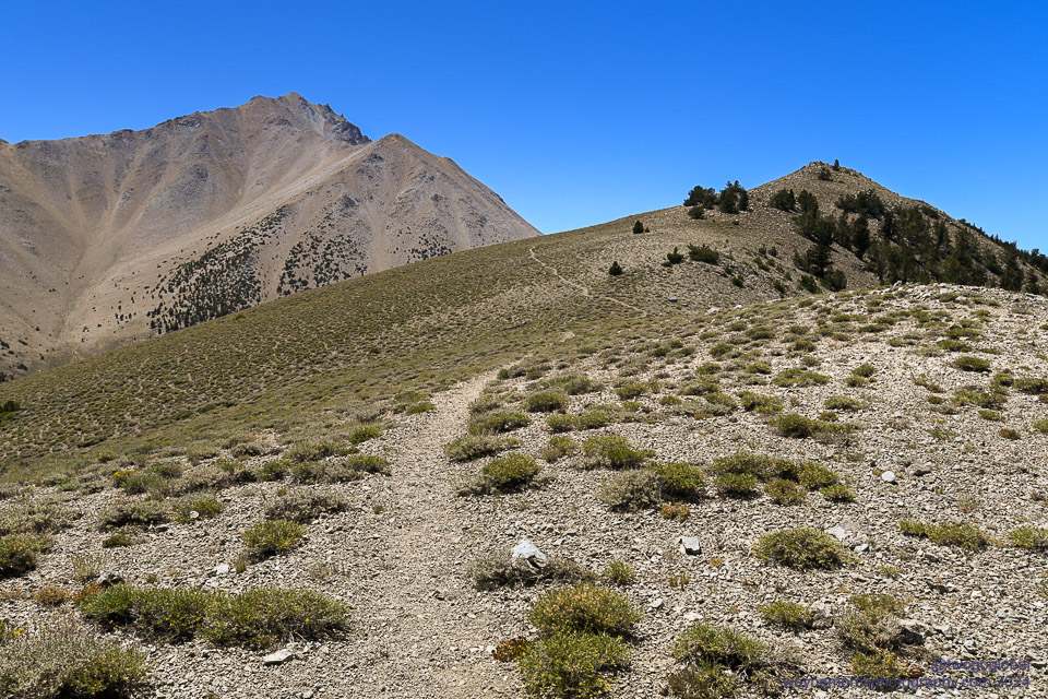
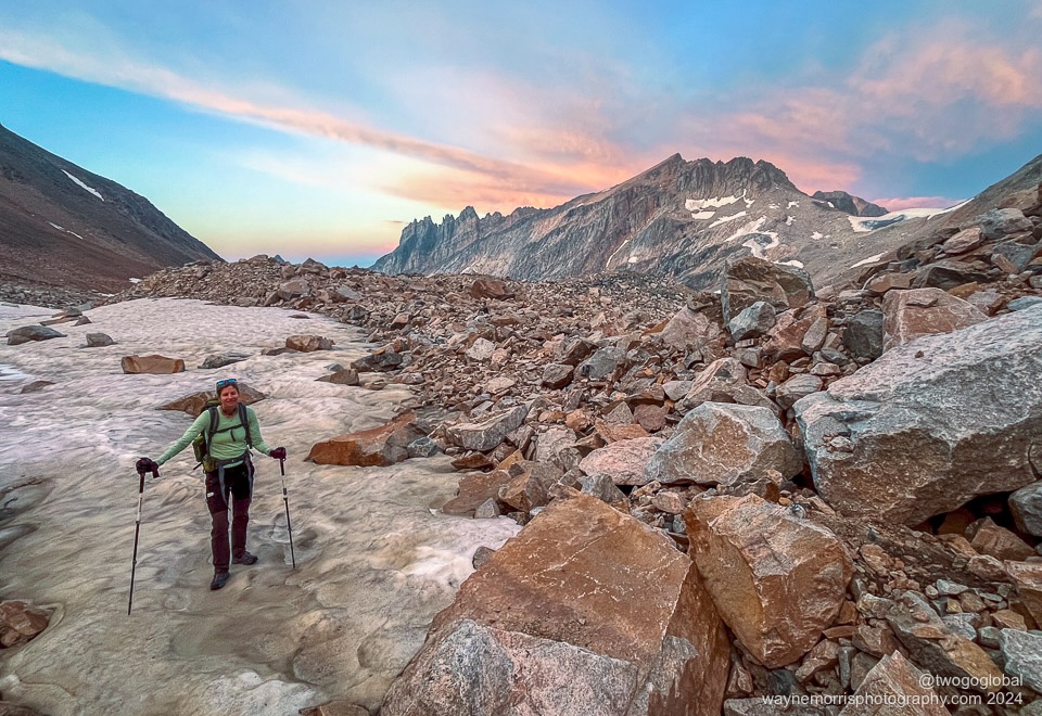
At 5am Andrea and I were crawling out of our tent in preparation for an early start. Jose on the other hand had no such eagerness! Opening and closing of the car doors would soon fix that as we prepped breakfast and coffee. The temps were perfect on this cloudless Nevada morning and we soon banged out the rest of the ‘road’ to the actual start. After some easy switchbacks and a long traverse it was time for scree and boulder hopping as we tried to find the best way to get high. The scree was of no surprise and was mentioned in countless blogs – ascending it wasn’t a big deal but heading down was going to be a bit unpleasant.
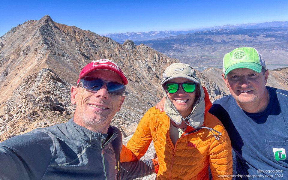
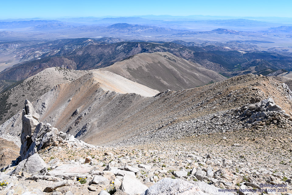
I guess living and hiking almost every day in the French alps made this a pretty routine hike and we found ourselves up at 4007m in 3 ½ hours. It was nice to be alone on the rocky summit with only a couple of people some way behind us and a solo guy well ahead. We had made it to Nevada’s highest point, a subsidiary summit of Montgomery Peak located just across the border in California – maybe I should have gone and tagged it just because! Endless views greeted us in every direction, the day clear and somewhat cool.
The way down was far more obvious than the ascent and it seemed like in no time we were back at an extremely warm 2700m, a four hour drive ahead of us. Las Vegas was unsurprisingly very hot and miserable – we couldn’t wait to get the hell out, hopefully with no excuse ever to return!
Montana – Granite Peak
Elevation: 12,799′ / 3901m ● Summited: 23/8/24 at 8h17 ● Route: Up/ Down: Lady of the Lake Trail via Southwest Ramp – Absaroka-Beartooth Wilderness
With a decision finally made we headed north out of a sweltering Las Vegas on the 13 hour trip to Montana, hopefully seeing the temperature drop en route. There was no rush as we expected to be able to make the almost 30 mile roundtrip hike in 2 days. This potentially easier route up what is known as the southern slope/ couloir would begin in the small Montana town of Cooke City, unlike a prior attempt where we headed across the miserable froze-to-death plateau after starting in Alpine, MT. After an overnight stop in Idaho we purchased an annual National Park pass at the West Yellowstone gate and lucked out with finding a site at the popular Canyon campground in the park. With the exception of bison our game drives were very mediocre, quite probably due to the massive amount of tourists! The following morning we drove on through to Cooke City.
We arrived in town to be told by the visitor centre that aggressive grizzly bear activity was a concern this year, the comment more than enough for us to drop $40 on a can of bear strength ‘pepper’ spray. This hike definitely reminded us of previous times spent in grizzly bear country!
We headed off up into the trees, loaded with camping gear, food for the 2 days, and an extra meal in case it look longer than anticipated. The trail would take us first to The Lady of the Lake, and after picking up Sky Top Creek we’d pass by many stunning lakes including Lone Elk Lake, Rough Lake, and into the Sky Top Lakes area where the plan was to hopefully find a flat campsite that would leave us with a reasonable summit day. Everything went to plan and with zero bear activity we set up camp with a clear view of the following days route. We’d made it over 800m vertical and 19 kms in distance. All we had to contend with now were the annoying, urine-greedy mountain goats.
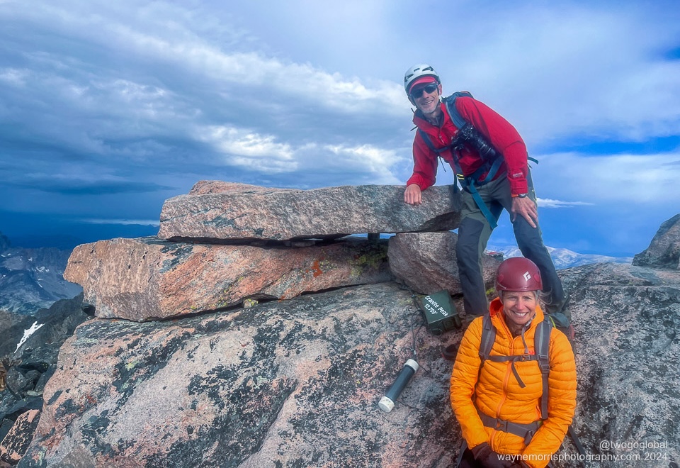
Starting in the dark at 5:25am the first part of summit day was a bit awkward to follow but gained altitude steadily. A left turn took us into rockier terrain and an obvious route towards the southwest couloir. With some assistance from the 3 fixed ropes the steeper rock scrambling wasn’t a big deal and after a final bit of route finding we were on the summit of Granite Peak. It had taken us 2h50 with 711m of vert. With some careful route finding we made it back down into the same couloir we had come up – the rest was a formality as we slid down scree and boulder hopped our way back to camp.
A quickly brewed cup of tea and we were reversing the long route we had come up less than 24 hours earlier. The trail was as picturesque, the lack of bears the same, the difference being the many kilometres that kicked our asses – we were very glad to arrive back at the car, another highpoint in the books!
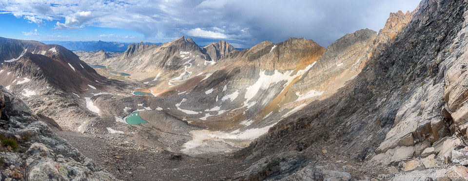
What a panorama, taken halfway up the ascent of Granite Peak
Texas – Guadalupe Peak
Elevation: 8,749′ / 2667m ● Summited: 27/8/24 at 18h08 ● Route: Up/ Down: Guadalupe Peak Trail – Guadalupe Mountains National Park
Located in Guadalupe Mountains National Park this highpoint was 100 miles from El Paso, Texas and pretty much on the border of New Mexico. The flight from Vegas was a bit over an hour and with an earlier than scheduled landing ensured that we would have just about enough daylight hours to at least make the summit of Texas. We collected the rental car and loosely drove along the US Mexico border, passing through a border post en route – have to assume that the El Paso/ Ciudad Juarez border is a very popular drug transit route!
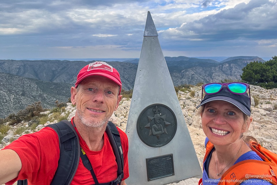
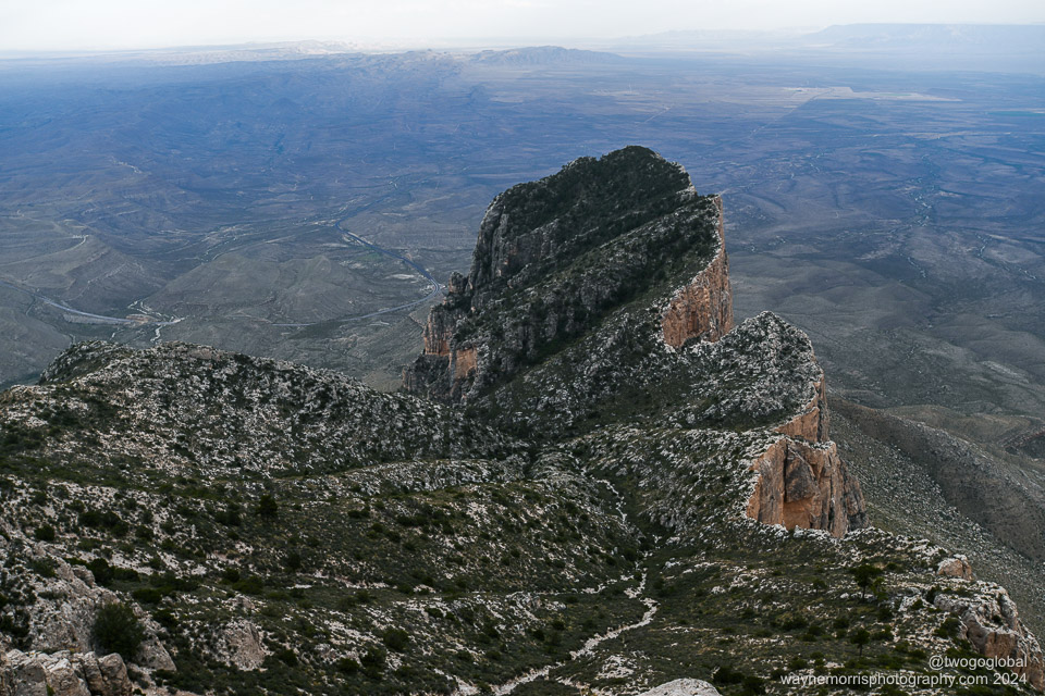
The thunderstorm forecast was not good news and worse case scenario would have been to start early the following morning. As the sky had settled slightly we parked up at the Pine Springs park campsite, grabbed goretex jackets and camera and started out on the 13km round trip trail. With perfect temperatures (unlike the recent daily 100’F+) we marched on uphill knocking off the kilometres at a good pace. The trail was straightforward and not too rocky, similar to our home trails in Chamonix. Our Gaia app route had shown 1100m of ascent with 250m of descent, where fortunately the amount of downhill was a mere 20m, giving a comfortable 850m to the highest point. Blue skies would have been impressive but the stormy surroundings made for an impressive view too.
Almost 3h30 after setting off we were back at our rental car, just about out of daylight. This would be our final night camping on this trip, maybe even the final night of a bear encounter – guess we should have left some scraps of food out 🙂 The following morning we’d be driving a further hour to visit Carlsbad Caverns National Park, then back to El Paso for a night.
The caverns were well worth the visit, especially being in the much quieter height of summer. The brief 2 night trip finished with dirt cheap margaritas across the border at Kentucky Bar in Ciudad Juarez, Mexico and dinner at a very impressive L&J Cafe Mexican restaurant close to our airbnb.
Panorama of the summit of Texas, an 840 elevation gain from the trailhead
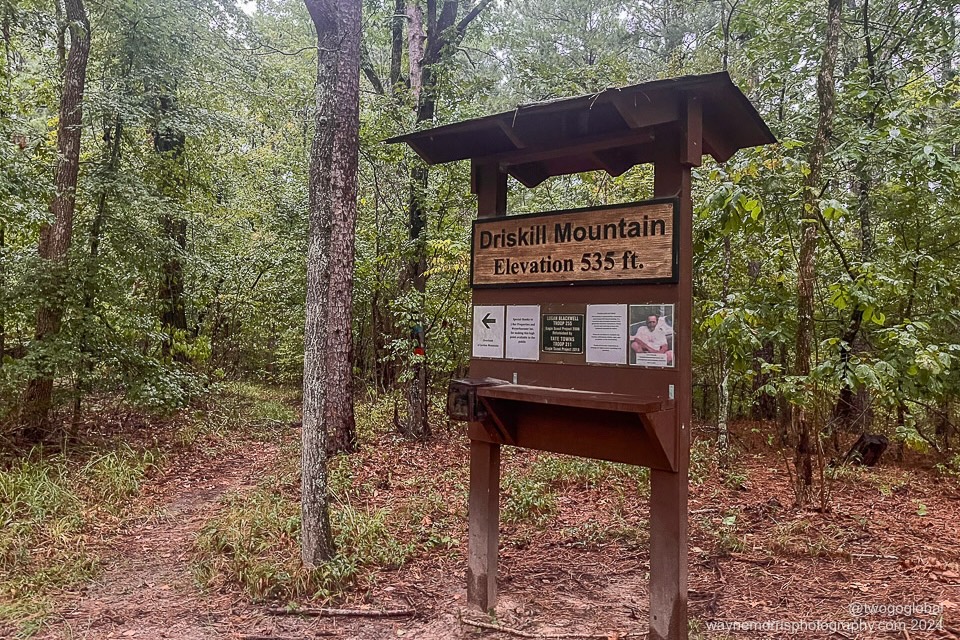
Louisiana – Driskill Mountain
Elevation: 535′ / 163m ● Summited: 29/8/24 at 18h58 ● Route: Up/ Down: Driskill Mountain Trail – Private Property
Stupid and ridiculous were words that sprung to mind when thinking about this US trip, especially this final 48 hours. From Dallas it was a 4h15 drive to Driskill, then 5h to Magazine, with a final 5h30 back to Dallas… and all for two 30 minute round trip walks! We should have bagged these years ago.
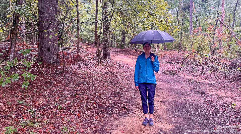
We arrived at the trailhead church parking lot in the rain around half hour before sunset. As this was on private land there was really only one trail up with a round trip of 2.5 kms and 60m elevation gain. Umbrella at the ready off we set, then 30 mins later we were back at the car, a little wet but glad the epic adventure was over!
We keep asking ourselves why we do this. Louisiana was a 15 minute hike to the top in the rain!
Arkansas – Magazine Mountain
Elevation: 2,753′ / 839m ● Summited: 30/8/24 at 10h58 ● Route: Up/ Down: Signal Hill Trail – Ozark National Forest
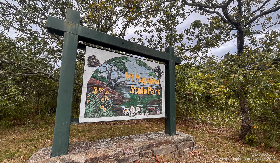
The final highpoint of this penultimate adventure to tag the pinnacle of all 50 states. Although Magazine mountain sits at almost 840m asl it was still only a 20 minute easy walk to the summit with a whopping 50m of elevation gain!
We had driven for 3 hours the previous night to substantially reduce the 5 hour total from Louisiana’s Driskill mountain. This was a good plan as the final couple hours was a very winding road, eventually ending at lodge parking in Mount Magazine state park.
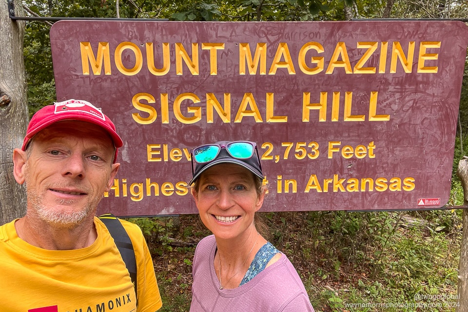
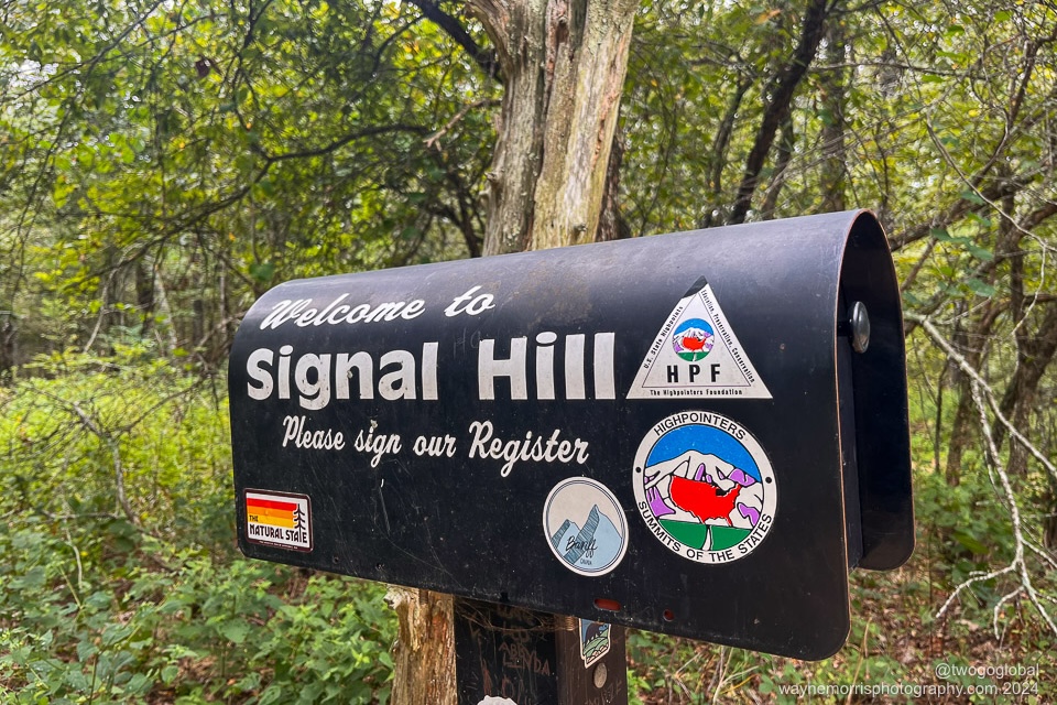
The short hike was all forested, the weather showing chances of rain, and signage indicating bears in the park. Would we see rain or bears; no and no! We did see the Arkansas state highpoint marker though. After signing the registry we took a slightly longer walk back down and began a 5 ½ hour drive back to Dallas.
Magazine Mountain/ Signal Hill is the highest point in Arkansas
Mission accomplished, with 5 from 5 new state high points tagged. The remaining 3 in Oregon, Washington and Wyoming will have to wait until late spring 2025.
Camping
Backpacks
Tent
Sleeping bags
Sleeping mats
Sleeping bag liners
Pillows
Towels
Head torches
Coffee maker/ filters
Stove/ gas bottle (bought in US)
Pans
Bowls
Mugs
Spoons
Knife
Bear storage bag
Sitting mats
Clothing Wayne
Flip flops
Goretex jackets
Insulated jacket
Baseball cap
Long sleeved top
Tee-shirts
Boxer shorts
Socks
Food
Coffee, tea
Breakfasts x11 days
Snacks: trail mix, energy bars
Dinners x7 total
Personal
Trekking poles
Garmin inReach
Water purifier
Nalgene bottles
Suncream
Toothbrush & toothpaste
Soap
Power brick
Camera and lenses
Charging cables
Reading glasses
Sunglasses
Clothing Andrea
Harnesses (slings, rappel device…)
Rope
Helmets
Next Time!
No food cooking pouches
Transportation
A long drive north from Las Vegas and campsites in Yellowstone NP
Dates
August 19th – August 30th 2024

