An early exit from the Tour Divide bike race allowed us to take a non-direct route from Kentucky to our month long housesitting job in Bozeman, Montana. It would also enable Andrea to complete her quest to visit all fifty states, an achievement that took almost 44 years!
We ended up tagging the seven highpoints mentioned below between June 29th and July 6th, mainly due to the fact that the maximum elevation was 2,301′ on Minnesota’s Eagle Mountain. Five out of the seven were reached either completely by vehicle or requiring a couple hundred metre walk, with Illinois being a little over a mile hike and only Minnesota with its 7 mile round-trip taking a couple of hours. From here on out as we travel west the hills become a much bigger challenge, thankfully!
Altitude: 1,550′ ● Summited: 6/29/17 ● Route: Up/ Down: Drive-up
An easy 3 1/2 hour drive from Andrea’s parents in Paris, Kentucky, and we were pulling into the grounds of the Hi-Point career center/ school. As with the rest of Ohio this area looked almost flat, with the final tenth of a mile drive through the school grounds being slightly uphill. We had nine highpoints planned on the drive to Montana, this being the first of the many drive-ups! At the true top was a nice highpointers.org provided bench, well manicured grounds and somewhat of a view of Bellefontaine and the surrounding area. If nothing more it was nice to be able to stretch our legs before the short drive to Indiana.
Indiana – Hoosier Hill
Altitude: 1,257′ ● Summited: 6/29/17 ● Route: Up/ Down: Drive-up
With Ohio done and dusted there was more to the day than just a single state, the drive to Indiana being a short 80 miles taking us less than 2 hours. Allowing Google to navigate along local roads definitely got us into more rural areas, allowing us to see parts of these states that we never would have seen otherwise.
The final approach was on a gravel road amidst fields of corn, the sunshine illuminating the fields making up for the absence of true hills and the necessity of barely having to get out of the car. We parked up and took pretty much the same amount of steps to the marker as we had in Ohio. This time it was set in a small copse of trees offering no view, the large rock being the only thing that caught our eye.
Probably the easiest highpoints so far but two from two was still a good start. With no plans to continue on to Illinois today we headed to our pre-arranged airbnb in Indianapolis.
Illinois – Charles Mound
Altitude: 1,235′ ● Summited: 7/1/17 ● Route: Up/ Down: 1.25 mile hike through private farm
We took Friday as a well deserved rest day, a rest day for what we asked ourselves? I guess driving the 7 hours to the Illinois state highpoint could be considered resting. Our timing was perfect as Charles Mound is on private property with the land owners only allowing access over four summer weekends and one in the winter, July 1st falling on one of those weekends. We had lucked out and managed to get a night at Hawk Valley Retreat for the night prior, offering cabins and rooms in a beautiful, tranquil location. Even better was that it was only 7 miles from the highpoint and a similar distance to the cute town of Galena.
After enjoying an included breakfast and pulling ourselves away from the retreat it was time to get back to business. Unlike the previous two states this one would require us to hike a little over a mile from the roadside parking, following a grassy path up into the property, and a final lung busting hill to the well manicured summit. It was nice to actually get out and have to put one foot in front of another to gain the top of a state!
Andrea and I were both extremely impressed with the rolling landscape and the care locals take in their slice of northern Illinois. Highly recommended was dinner at Galena’s Fried Green Tomatoes and our accommodation.
Wisconsin – Timms Hill
Altitude: 1,951′ ● Summited: 7/1/17 ● Route: Up/ Down: Drive-up & Timms Hill trail
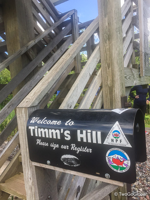
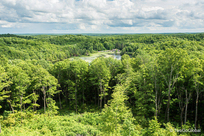
Five hours driving north and the crossing of a state line took us up to Timms Hill County Park, home of yet another easy highpoint. Summitpost.com mentions the trail gaining 140′ over a 1/4 mile, a little on the long side we thought. A quick jaunt to the top of the watchtower and we were back in the SUV debating how close to the Michigan highpoint we would get.
Hopefully the next four hours of driving would take us through areas as pretty and well taken care of as Wisconsin. The state is impressive, at least what we’ve seen of it – once again we’re seeing parts of the United States we would never have visited had we not started out on this quest. The next leg would take us to Lake Superior, the largest of the Great Lakes.
Michigan – Mount Arvon
Altitude: 1,979′ ● Summited: 7/2/17 ● Route: Up/ Down Drive-up with 0.1 mile hike
Out of Wisconsin and on into Michigan we continued driving all the way to the shores of the largest lake on the planet, Superior. Due to the hour and it being a Friday night we jumped at the last available campsite at Baraga State Park on a tiny inlet of the monstrous lake – little did we know about the power of storms over these expanses of water! We wanted an early start but hadn’t planned on being woken at 2am by the crack of thunder and relentless lightning strikes all around us. For an hour we lay there wandering if it’s possible to be fried by lightning whilst in a tent?
Sleep did eventually return, followed swiftly by the light of daybreak. It was going to be a pleasant day for hiking. With Google stating an hour to cover the 26 mile drive we expected a rough road, not realizing that it would try and take us across a newly formed raging stream come river. We sat in our SUV, Going Global, pondering how we were going to make it through and up the far side embankment. Surely this wasn’t the reason behind the driving time! Before attempting it we needed to at least check out other options, but with no cell phone coverage we were now driving on forest roads with no idea as to whether there was an alternate route.
If we had read the driving instructions on summitpost.com we would never had made the previous turn and instead crossed the torrent at a bridge a mile away! Once across the route was a somewhat narrow logging road through paper company owned forest, eventually leading us to within a couple hundred yards of the highpoint. As usual we thought that nobody could have made it up before us, once again proven wrong by a loan highpointer’s name in the summit registration book. All we needed now was to remember the dirt roads taken on the way up.
Minnesota – Eagle Mountain
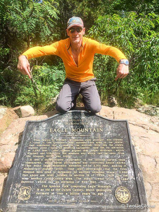
Altitude: 2,301′ ● Summited: 7/4/17 ● Route: Up/ Down Eagle Mountain trail
Much of the rest of the day was spent driving the 230+ miles to Duluth, a city in Minnesota we had never visited but one that had regularly come up in Outside Magazine for being in the top ten best places to live in the US. We were looking forward to checking it out.
Our first impression was not what we had hoped, with industry scattered along the shores of Lake Superior for ore and wheat processing and shipping. Closer to downtown, especially around the aerial lift bridge, was heaving with July 4th and weekend tourists – the quantity of people turned us off straight away! The positives were the microbreweries catering for all the visitors and the excellent eatery, Northern Waters Smokehaus. So good that it prompted a second visit.
With the North Shore beckoning one night was more than enough in the city. Many of Minnesota’s state parks, countless lakes, and scenic drives meander along Superior, beginning in Duluth and continuing on for over 100 miles to Thunder Bay, Ontario. This was also home to the Lutsen 99er, a Leadville qualifying race which we had unfortunately missed by only a week! Being that this was an extended weekend for many people I had spent the prior week refreshing the webpages for all the lakeshore state parks, most of the time coming up blank, until two nights unexpectedly opened up at Split Rock Lighthouse and State Park – we had lucked out and picked up a cancellation for probably the best spot in the campground. What we hadn’t anticipated was the quarter mile hilly ‘trolley drag’ from the parking lot with half the contents of our SUV.
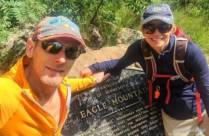
Getting down to business, the Minnesota highpoint trailhead is located in Superior National Forest, an easy 20 miles along a gravel road from touristy Grand Marais. Interestingly this peak at a lowly 2,301′ is the 9th most prominent highpoint in the US and situated only fifteen miles from the state low-point, Lake Superior. Compared with the ease of the previous six state highpoints this was going to be a challenge, following an out and back seven mile trail with around 550′ of elevation difference from the trailhead. The hike itself made for an easy morning stroll with nothing too dramatic and being primarily in forest, no views of any interest.
With the hike itself being a formality it was great to return to the beauty of the North Shore and sit back to enjoy the views from our well placed hammock. Next up, an out of the way Iowa highpoint drive-up…
Iowa – Hawkeye Point
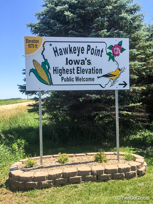
Altitude: 1,670′ ● Summited: 7/6/17 ● Route: Up/ Down Drive-up
Initially a highpoint we were going to skip on this trip due to the diversion we thought it required on our drive from Duluth to Rapid City, South Dakota. Our minds were changed as soon as this stood out like a sore thumb on our map of completed states – one red pin amongst all green didn’t look good and the thought of driving to Iowa just to tag its highest peak wasn’t sobering! Turns out that it only added approximately 75 miles to the 760 mile drive to Black Elk Peak in South Dakota.
Neither Andrea nor I had been to Iowa and standing atop its highpoint definitely counted as visiting the state, accomplishing two quests in one. This would leave North Dakota as the final state Andrea had yet to visit! Our trusted SUV took us through the final town in Minnesota, Bigelow, before making the short four mile jaunt across the state line to our 20th joint state highpoint.
Hawkeye Point was definitely the best presented of the twenty so far, with displays, flags, distance markers, a lookout tower and even a shaded place for our lunch. The length the state has gone to for its 1,670′ highest elevation point was impressive considering how trivial it is compared with many others. Congratulations Iowa!
June 29th 2017 – July 6th 2017


